BLUE
NNnotnwstornado.bsky.social

Henry, VA; Pittsylvania, VA: At 333 PM EDT, a severe thunderstorm capable of producing a tornado was located near Sandy Level, or near Axton, moving northeast at 15 mph..

0
AFrnk.nws-bot.us

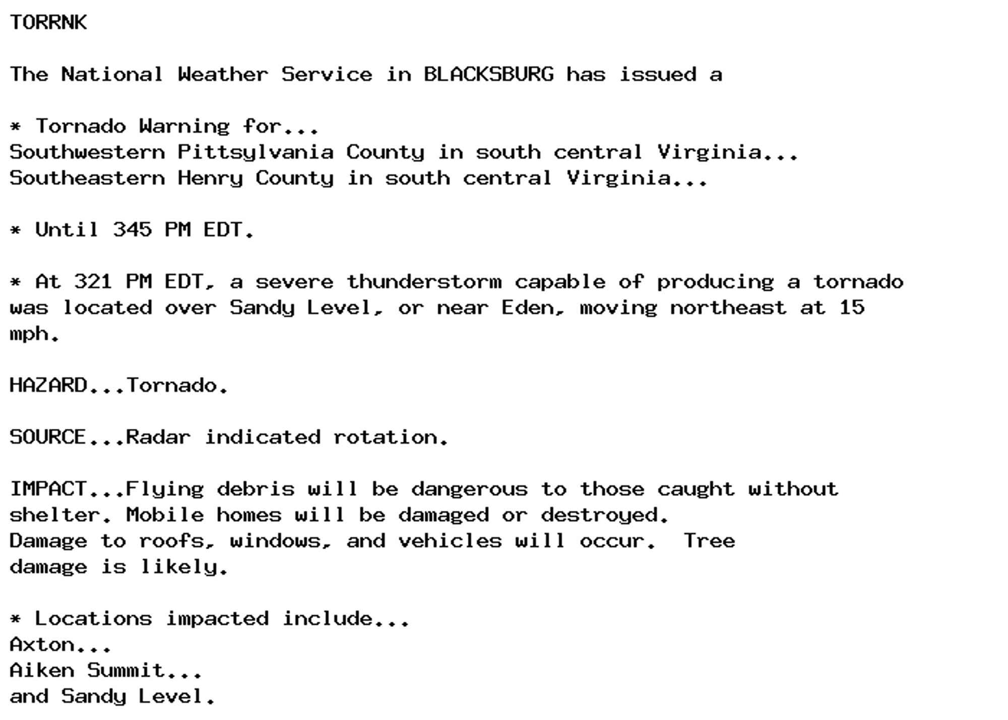
Tornado Warning issued September 29 at 3:22PM EDT until September 29 at 3:45PM EDT by NWS Blacksburg VA Additional Details Here.

TORRNK

The National Weather Service in BLACKSBURG has issued a

* Tornado Warning for...
Southwestern Pittsylvania County in south central Virginia...
Southeastern Henry County in south central Virginia...

* Until 345 PM EDT.

* At 321 PM EDT, a severe thunderstorm capable of producing a tornado
was located over Sandy Level, or near Eden, moving northeast at 15
mph.

HAZARD...Tornado.

SOURCE...Radar indicated rotation.

IMPACT...Flying debris will be dangerous to those caught without
shelter. Mobile homes will be damaged or destroyed.
Damage to roofs, windows, and vehicles will occur.  Tree
damage is likely.

* Locations impacted include...
Axton...
Aiken Summit...
and Sandy Level.
0
AFrnk.nws-bot.us

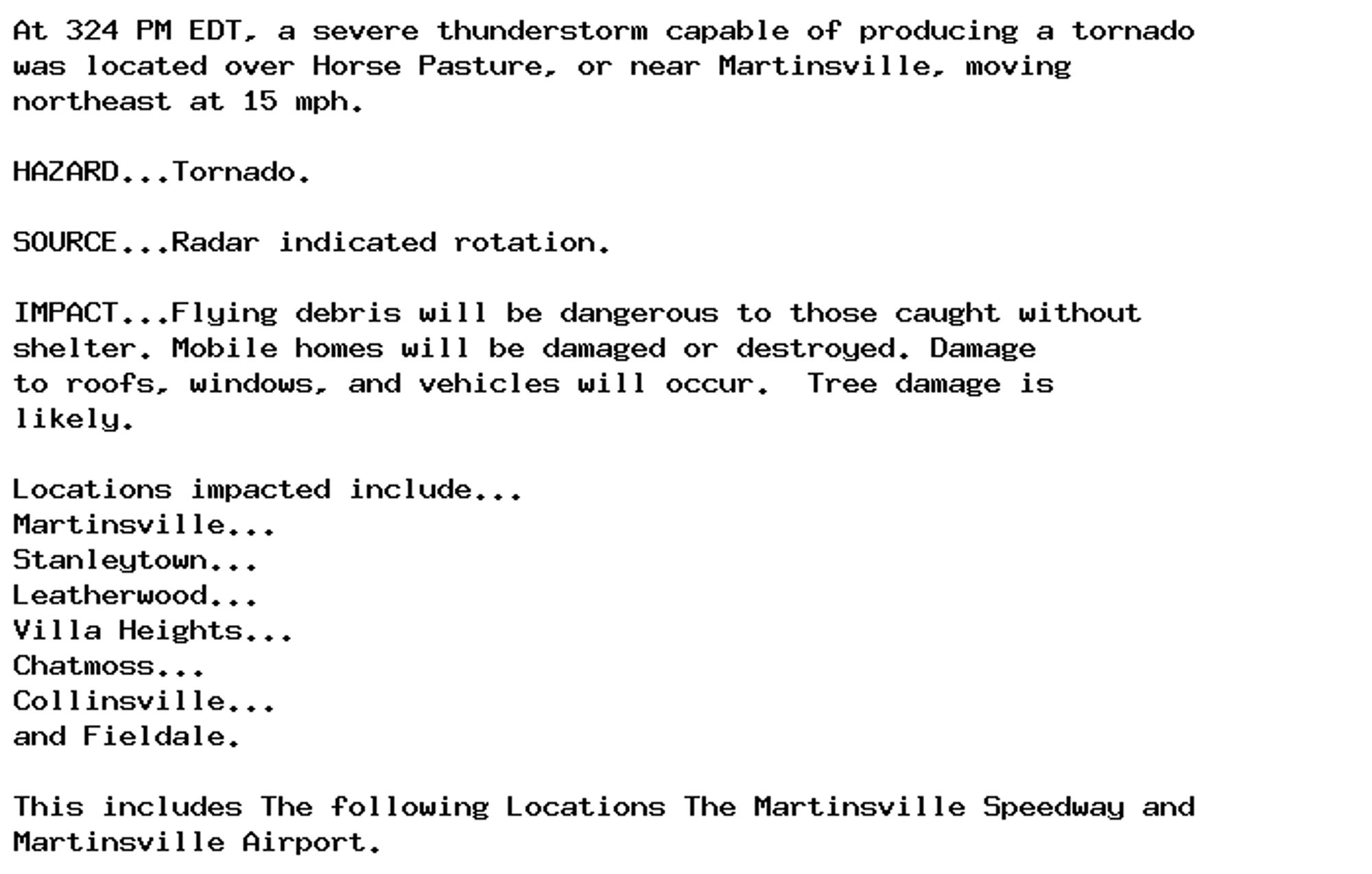
Tornado Warning issued September 29 at 3:24PM EDT until September 29 at 3:45PM EDT by NWS Blacksburg VA Additional Details Here.

At 324 PM EDT, a severe thunderstorm capable of producing a tornado
was located over Horse Pasture, or near Martinsville, moving
northeast at 15 mph.

HAZARD...Tornado.

SOURCE...Radar indicated rotation.

IMPACT...Flying debris will be dangerous to those caught without
shelter. Mobile homes will be damaged or destroyed. Damage
to roofs, windows, and vehicles will occur.  Tree damage is
likely.

Locations impacted include...
Martinsville...
Stanleytown...
Leatherwood...
Villa Heights...
Chatmoss...
Collinsville...
and Fieldale.

This includes The following Locations The Martinsville Speedway and
Martinsville Airport.
0
AFrnk.nws-bot.us

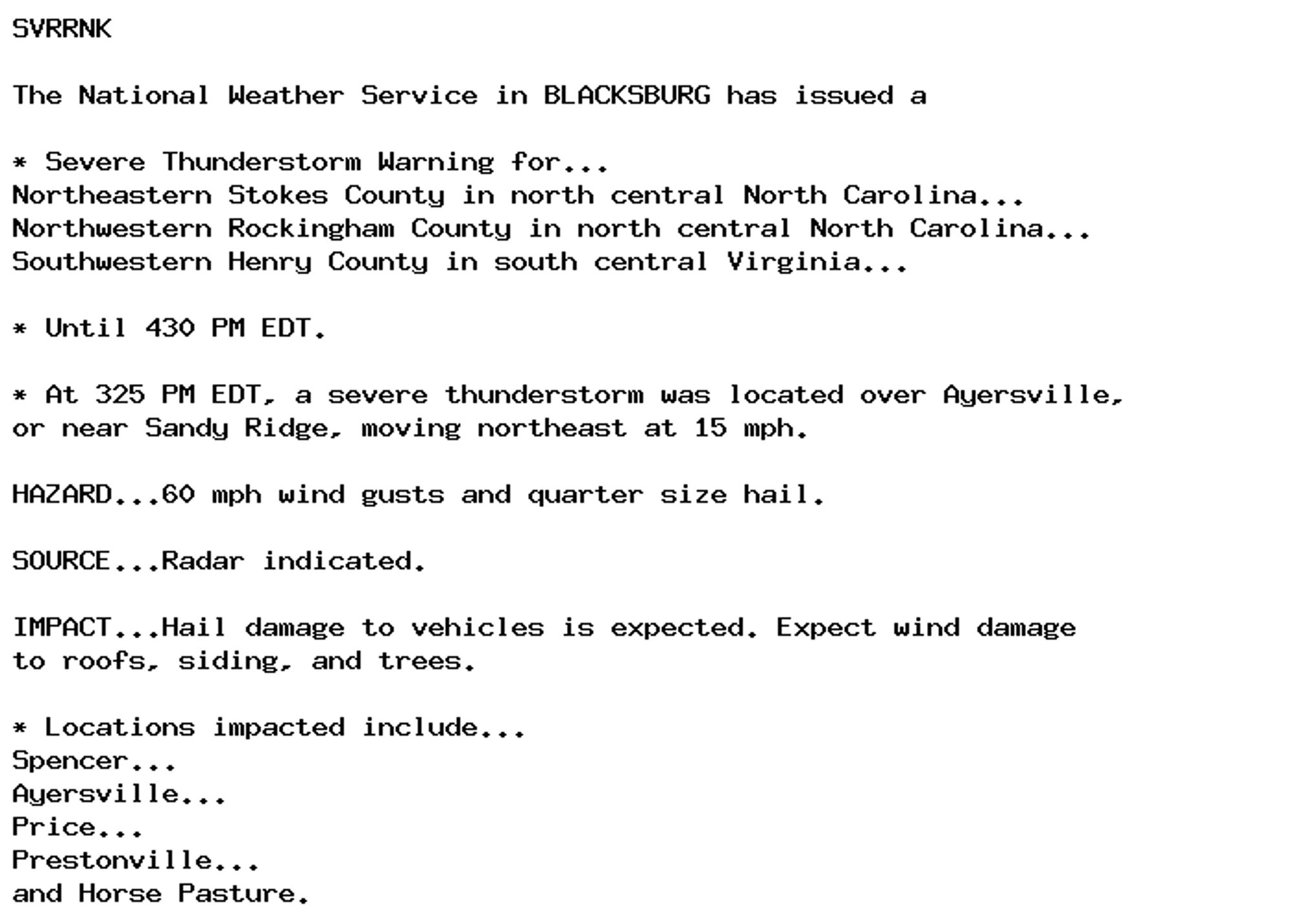
Severe Thunderstorm Warning issued September 29 at 3:25PM EDT until September 29 at 4:30PM EDT by NWS Blacksburg VA Additional Details Here.

SVRRNK

The National Weather Service in BLACKSBURG has issued a

* Severe Thunderstorm Warning for...
Northeastern Stokes County in north central North Carolina...
Northwestern Rockingham County in north central North Carolina...
Southwestern Henry County in south central Virginia...

* Until 430 PM EDT.

* At 325 PM EDT, a severe thunderstorm was located over Ayersville,
or near Sandy Ridge, moving northeast at 15 mph.

HAZARD...60 mph wind gusts and quarter size hail.

SOURCE...Radar indicated.

IMPACT...Hail damage to vehicles is expected. Expect wind damage
to roofs, siding, and trees.

* Locations impacted include...
Spencer...
Ayersville...
Price...
Prestonville...
and Horse Pasture.
0
AFrnk.nws-bot.us

Tornado Warning issued September 29 at 3:26PM EDT until September 29 at 3:45PM EDT by NWS Blacksburg VA Additional Details Here.

At 325 PM EDT, a severe thunderstorm capable of producing a tornado
was located over Oak Level, or over Bassett, moving northeast at 15
mph.

HAZARD...Tornado.

SOURCE...Radar indicated rotation.

IMPACT...Flying debris will be dangerous to those caught without
shelter. Mobile homes will be damaged or destroyed. Damage
to roofs, windows, and vehicles will occur.  Tree damage is
likely.

Locations impacted include...
Sydnorsville...
Ferrum...
Bassett...
and Oak Level.
0
NNnotnwstornado.bsky.social

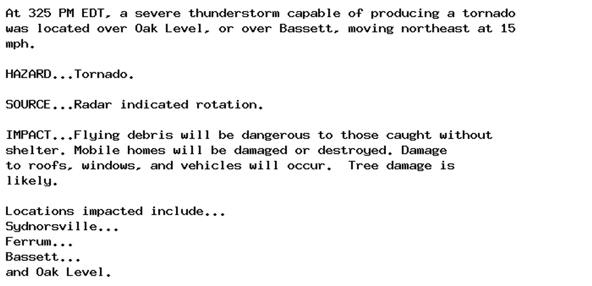
Franklin, VA; Henry, VA: At 325 PM EDT, a severe thunderstorm capable of producing a tornado was located over Oak Level, or over Bassett, moving northeast at 15 mph..

0
Ssuw.bsky.social

Took a couple of American friends to The Ladybird Gallery at @themerl.bsky.social@gralefrit.bsky.social's satirical Ladybird books to them.

A mural on a wall says The Ladybird Gallery above three pictures: 1. A field of ripe corn with poppies, 2. A thunderstorm in the distance with pink foxgloves in the foreground, 3. A few cows stand under a tree.
0
NNnotnwstornado.bsky.social

Henry, VA; City of Martinsville, VA: At 324 PM EDT, a severe thunderstorm capable of producing a tornado was located over Horse Pasture, or near Martinsville, moving northeast at 15 mph..

0
NWskeetbot.watchedsky.social

NEW WEATHER ADVISORY: Tornado Warning At 325 PM EDT, a severe thunderstorm capable of producing a tornado was located over Oak Level, or over Bassett, moving northeast at 15 mph. HAZARD...Tornado. SOURCE...Radar indicated rotation. IMPACT...Flying... See more: watchedsky.social/app/alerts/...

0
NWskeetbot.watchedsky.social

NEW WEATHER ADVISORY: Severe Thunderstorm Warning SVRRNK The National Weather Service in BLACKSBURG has issued a * Severe Thunderstorm Warning for... Northeastern Stokes County in north central North Carolina... Northwestern Rockingham County in... See more: watchedsky.social/app/alerts/...

0