It's #DigitalFriday#skystorians#AcademicSky (pls boost to any relevant feeds)
I use earth.nullschool.net in nearly every class, it is just so useful for teaching world history and maritime history. You can change the settings to display wind, currents, or wave patterns. Students always love how clearly it illustrates things like the equatorial zone, monsoon patterns, etc.
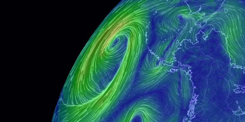
See current wind, weather, ocean, and pollution conditions, as forecast by supercomputers, on an interactive animated map. Updated every three hours.
I found a directory of open access books this week which looks really useful #Skystorianswww.doabooks.org
Advice on creating accessible documents. If you do want to create pdfs, perhaps consider creating an alternative text-based document (rtf) as well (works with basic screen readers). You might need to reword (e.g. to compensate for lack of images). #DigitalFridaywww.gov.uk/guidance/pub...

Learn how to publish accessible documents to meet the needs of all users under the accessibility regulations.
Maybe this is interesting? We're piloting our masters programme handbooks as online documents, authored in Markdown/Docusaurus handbooks.rcs.ac.uk#DigitalFriday
Been looking into the Zettelkasten system for note taking - interesting!
earth.nullschool.net#current/wind... OK it's Saturday now but I love this interactive map. You can change it to temperature or particulates too.
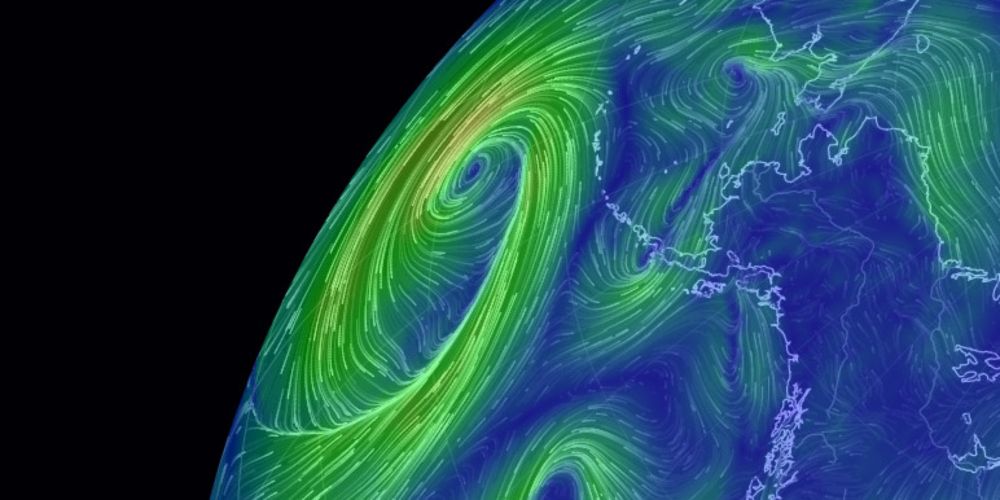
See current wind, weather, ocean, and pollution conditions, as forecast by supercomputers, on an interactive animated map. Updated every three hours.