AP
Aerial Photographs of Colorado
@aerialcolorado.bsky.social
Posting images from the University of Colorado-Boulder Libraries' "Aerial Photographs of Colorado" collection.
Learn more: doi.org/10.25931/44A5-ER13
Not affiliated with the CU-Boulder. Materials believed to be in Public Domain.
74 followers56 following1.4k posts
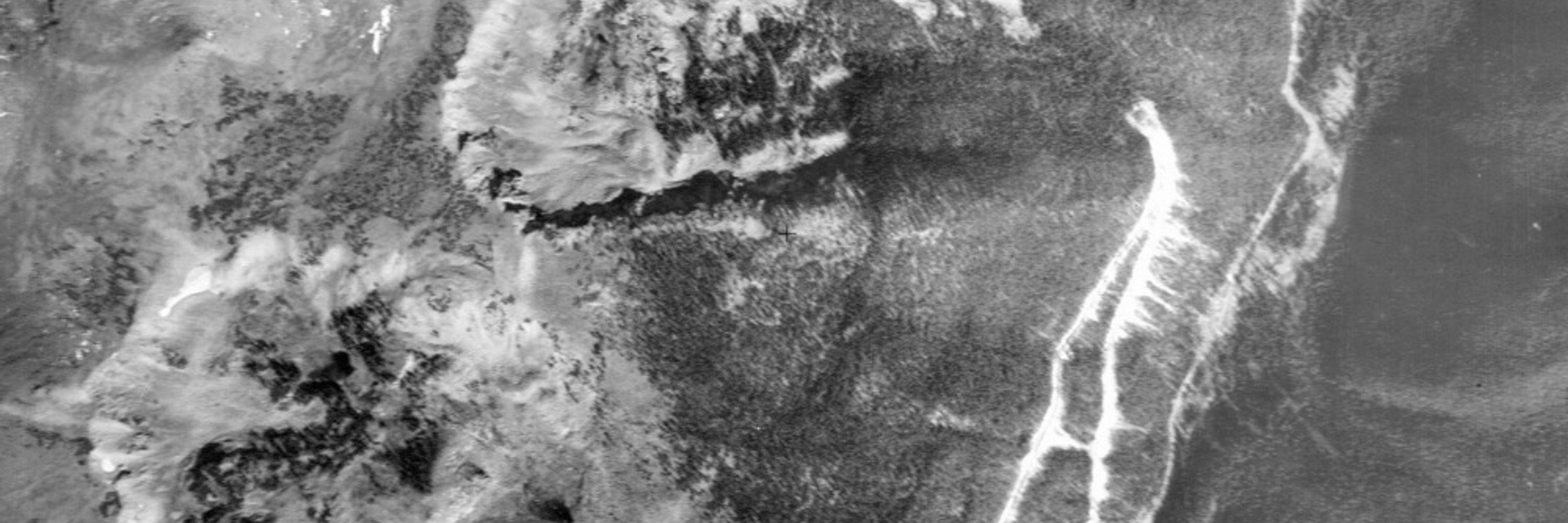
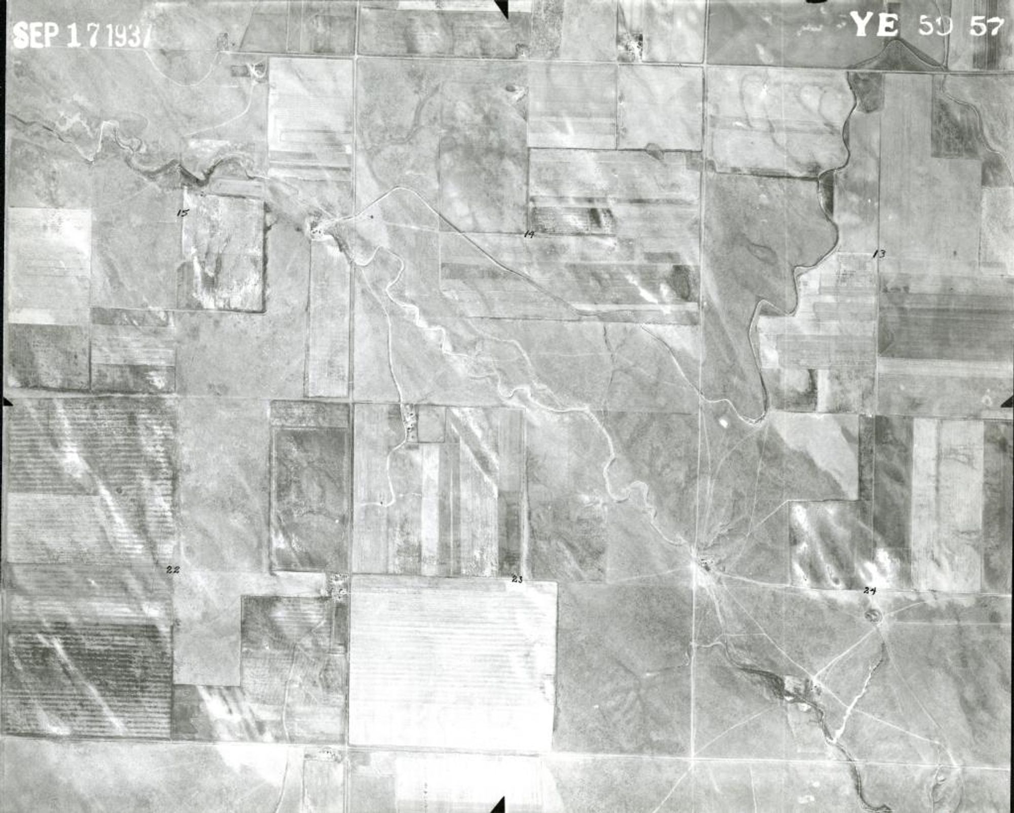
ID : YE 59-57 Date : 1937-09-17 Publisher : Agricultural Adjustment Administration County : Morgan State : Colorado Landmark : Merino Oil Field Coordinates : 40° 28' 48.00" N, -103° 29' 44.00" W -Source Link-
AP
Aerial Photographs of Colorado
@aerialcolorado.bsky.social
Posting images from the University of Colorado-Boulder Libraries' "Aerial Photographs of Colorado" collection.
Learn more: doi.org/10.25931/44A5-ER13
Not affiliated with the CU-Boulder. Materials believed to be in Public Domain.
74 followers56 following1.4k posts