RL
Rob Langridge
@aotearoa-unzpd.bsky.social
Earthquake Geologist at GNS Science - Te Pū Ao, Wellington. Reporting on cool active tectonics and paleoseismicity from our own sandbox experiment (Aotearoa NZ) and other stuff. Graduate of UOregon DoGS (go Ducks)
185 followers230 following194 posts
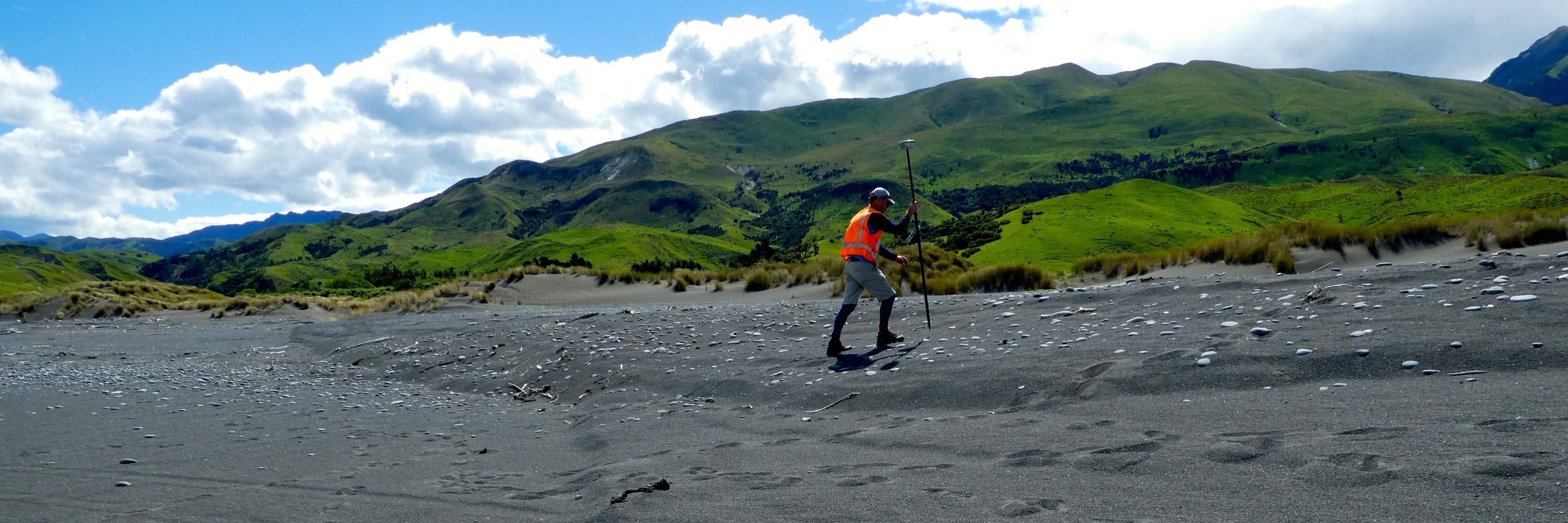
Aha. I found it! I knew there was a picture relating to the damming of the river by Williams & co. Co-seimic river avulsion albeit 4 yr after the quake in 1867. FYI Cyclone Gabrielle has now removed this 19th century dam

I should say, the EQ happened on 23 Feb 1863 and it appears that the original flood when the river avulsed was recounted in June 1868. Williams' dam was c. 500 yards long & 20 ft high which matches with what we see in the lidar. The land is c. 2 m higher on the E side of the dam, which is now gone.

RL
Rob Langridge
@aotearoa-unzpd.bsky.social
Earthquake Geologist at GNS Science - Te Pū Ao, Wellington. Reporting on cool active tectonics and paleoseismicity from our own sandbox experiment (Aotearoa NZ) and other stuff. Graduate of UOregon DoGS (go Ducks)
185 followers230 following194 posts