BLUE
AF
Alerts from NWS Columbia SC (UNOFFICIAL)
@cae.nws-bot.us
Unofficial bot sharing alerts from NWS Columbia SC. This account is not monitored. Contact @wandrme.paxex.aero if needed.
120 followers1 following120 posts
AFcae.nws-bot.us

🚨 Flood Warning issued September 30 at 2:55PM EDT until October 2 at 4:05PM EDT by NWS Columbia SC 🚨 Additional Details Here.
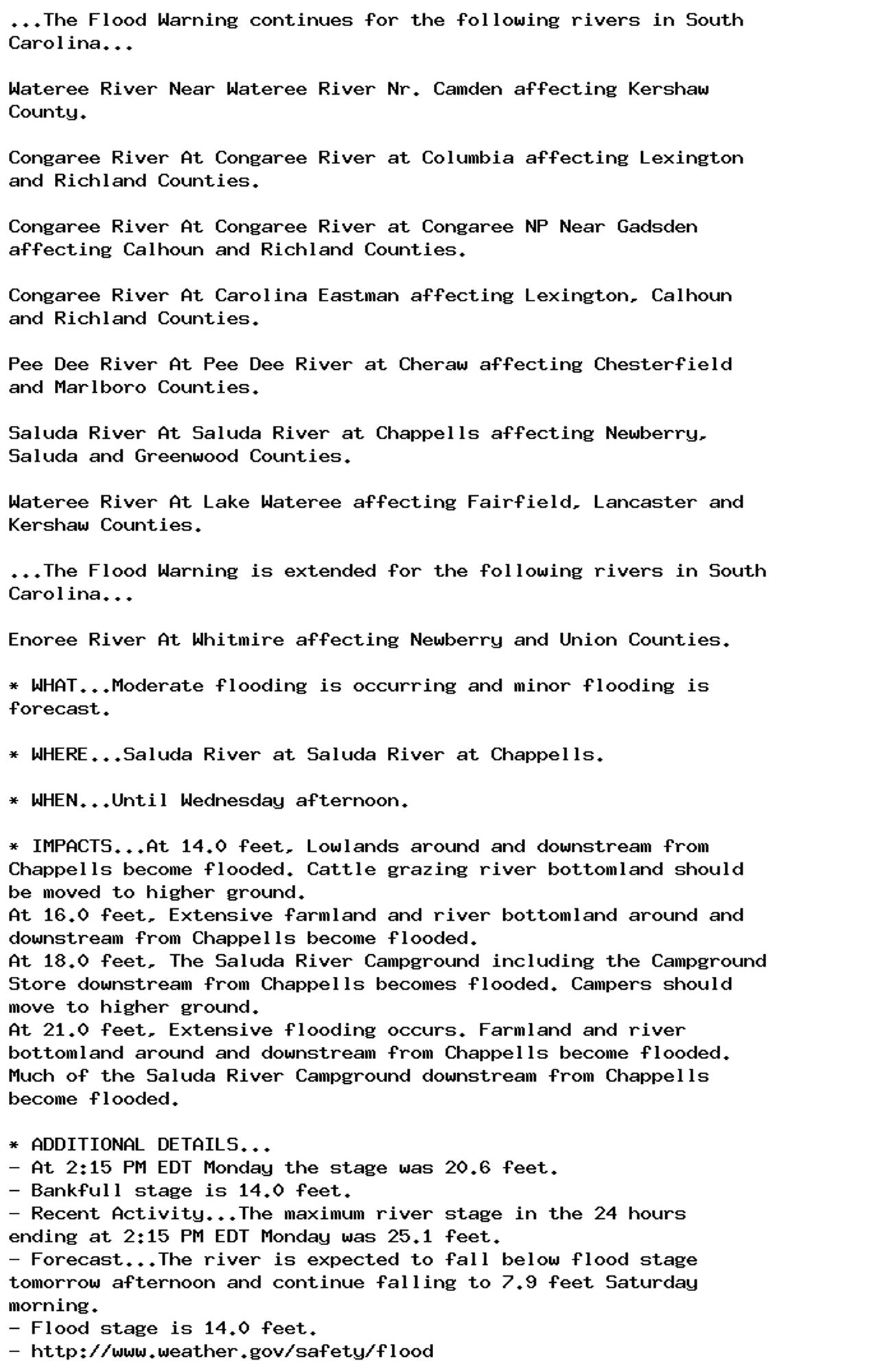
...The Flood Warning continues for the following rivers in South
Carolina...

Wateree River Near Wateree River Nr. Camden affecting Kershaw
County.

Congaree River At Congaree River at Columbia affecting Lexington
and Richland Counties.

Congaree River At Congaree River at Congaree NP Near Gadsden
affecting Calhoun and Richland Counties.

Congaree River At Carolina Eastman affecting Lexington, Calhoun
and Richland Counties.

Pee Dee River At Pee Dee River at Cheraw affecting Chesterfield
and Marlboro Counties.

Saluda River At Saluda River at Chappells affecting Newberry,
Saluda and Greenwood Counties.

Wateree River At Lake Wateree affecting Fairfield, Lancaster and
Kershaw Counties.

...The Flood Warning is extended for the following rivers in South
Carolina...

Enoree River At Whitmire affecting Newberry and Union Counties.

* WHAT...Moderate flooding is occurring and minor flooding is
forecast.

* WHERE...Saluda River at Saluda River at Chappells.

* WHEN...Until Wednesday afternoon.

* IMPACTS...At 14.0 feet, Lowlands around and downstream from
Chappells become flooded. Cattle grazing river bottomland should
be moved to higher ground.
At 16.0 feet, Extensive farmland and river bottomland around and
downstream from Chappells become flooded.
At 18.0 feet, The Saluda River Campground including the Campground
Store downstream from Chappells becomes flooded. Campers should
move to higher ground.
At 21.0 feet, Extensive flooding occurs. Farmland and river
bottomland around and downstream from Chappells become flooded.
Much of the Saluda River Campground downstream from Chappells
become flooded.

* ADDITIONAL DETAILS...
- At 2:15 PM EDT Monday the stage was 20.6 feet.
- Bankfull stage is 14.0 feet.
- Recent Activity...The maximum river stage in the 24 hours
ending at 2:15 PM EDT Monday was 25.1 feet.
- Forecast...The river is expected to fall below flood stage
tomorrow afternoon and continue falling to 7.9 feet Saturday
morning.
- Flood stage is 14.0 feet.
- http://www.weather.gov/safety/flood
0

AF
Alerts from NWS Columbia SC (UNOFFICIAL)
@cae.nws-bot.us
Unofficial bot sharing alerts from NWS Columbia SC. This account is not monitored. Contact @wandrme.paxex.aero if needed.
120 followers1 following120 posts