BLUE
AF
Alerts from NWS Columbia SC (UNOFFICIAL)
@cae.nws-bot.us
Unofficial bot sharing alerts from NWS Columbia SC. This account is not monitored. Contact @wandrme.paxex.aero if needed.
120 followers1 following120 posts
AFcae.nws-bot.us

🚨 Flood Warning issued September 30 at 10:10PM EDT by NWS Columbia SC 🚨 Additional Details Here.

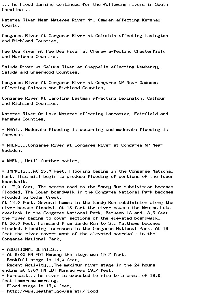
...The Flood Warning continues for the following rivers in South
Carolina...

Wateree River Near Wateree River Nr. Camden affecting Kershaw
County.

Congaree River At Congaree River at Columbia affecting Lexington
and Richland Counties.

Pee Dee River At Pee Dee River at Cheraw affecting Chesterfield
and Marlboro Counties.

Saluda River At Saluda River at Chappells affecting Newberry,
Saluda and Greenwood Counties.

Congaree River At Congaree River at Congaree NP Near Gadsden
affecting Calhoun and Richland Counties.

Congaree River At Carolina Eastman affecting Lexington, Calhoun
and Richland Counties.

Wateree River At Lake Wateree affecting Lancaster, Fairfield and
Kershaw Counties.

* WHAT...Moderate flooding is occurring and moderate flooding is
forecast.

* WHERE...Congaree River at Congaree River at Congaree NP Near
Gadsden.

* WHEN...Until further notice.

* IMPACTS...At 15.0 feet, Flooding begins in the Congaree National
Park. This will begin to produce flooding of portions of the lower
boardwalk.
At 17.0 feet, The access road to the Sandy Run subdivision becomes
flooded. The lower boardwalk in the Congaree National Park becomes
flooded by Cedar Creek.
At 18.0 feet, Several homes in the Sandy Run subdivision along the
river become flooded. At 18 feet the river covers the Weston Lake
overlook in the Congaree National Park. Between 18 and 18.5 feet
the river begins to cover sections of the elevated boardwalk.
At 20.0 feet, Farmland from Sandy Run to St. Matthews becomes
flooded. Flooding increases in the Congaree National Park. At 19
feet the river covers most of the elevated boardwalk in the
Congaree National Park.

* ADDITIONAL DETAILS...
- At 9:00 PM EDT Monday the stage was 19.7 feet.
- Bankfull stage is 14.0 feet.
- Recent Activity...The maximum river stage in the 24 hours
ending at 9:00 PM EDT Monday was 19.7 feet.
- Forecast...The river is expected to rise to a crest of 19.9
feet tomorrow morning.
- Flood stage is 15.0 feet.
- http://www.weather.gov/safety/flood
0

AF
Alerts from NWS Columbia SC (UNOFFICIAL)
@cae.nws-bot.us
Unofficial bot sharing alerts from NWS Columbia SC. This account is not monitored. Contact @wandrme.paxex.aero if needed.
120 followers1 following120 posts