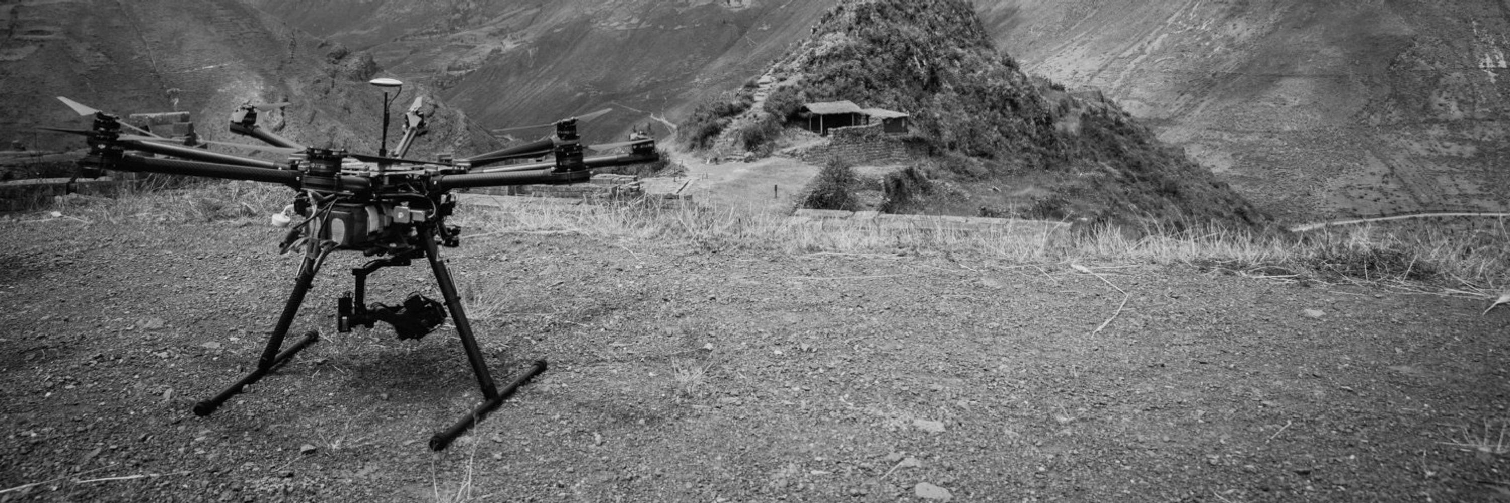
I work professionally on drone data collection to assist with disaster response efforts and they are super useful tools for that - search and rescue, situational awareness, creating super accurate maps almost immediately so experts can majorly speed up disaster declarations and rebuilding…
Super useful on wildfires. We only have a handful of planes that can collect IR data, and during PL 5 there are often way more fires than they can fly in a shift, so sometimes we can get a UAS module to come out and fly the fire instead. A lot cheaper to build up our UAS capacity than planes.
People have no idea what a map means to someone attempting to provide recovery. It's the first thing I look for!
Have they started calling them botflies yet?
I am in a remote sensing class this semester. Emergency management is one of rhe applications I am interested in. So cool you are working on this!