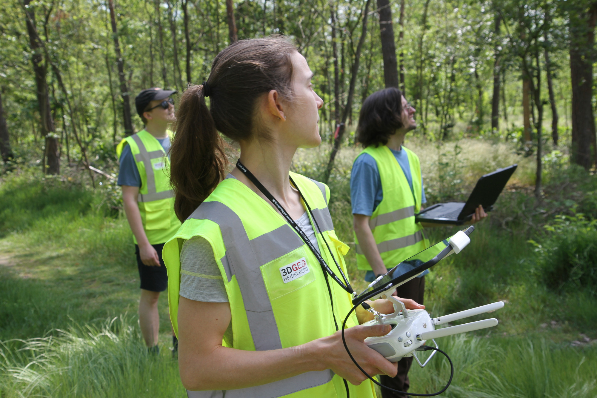
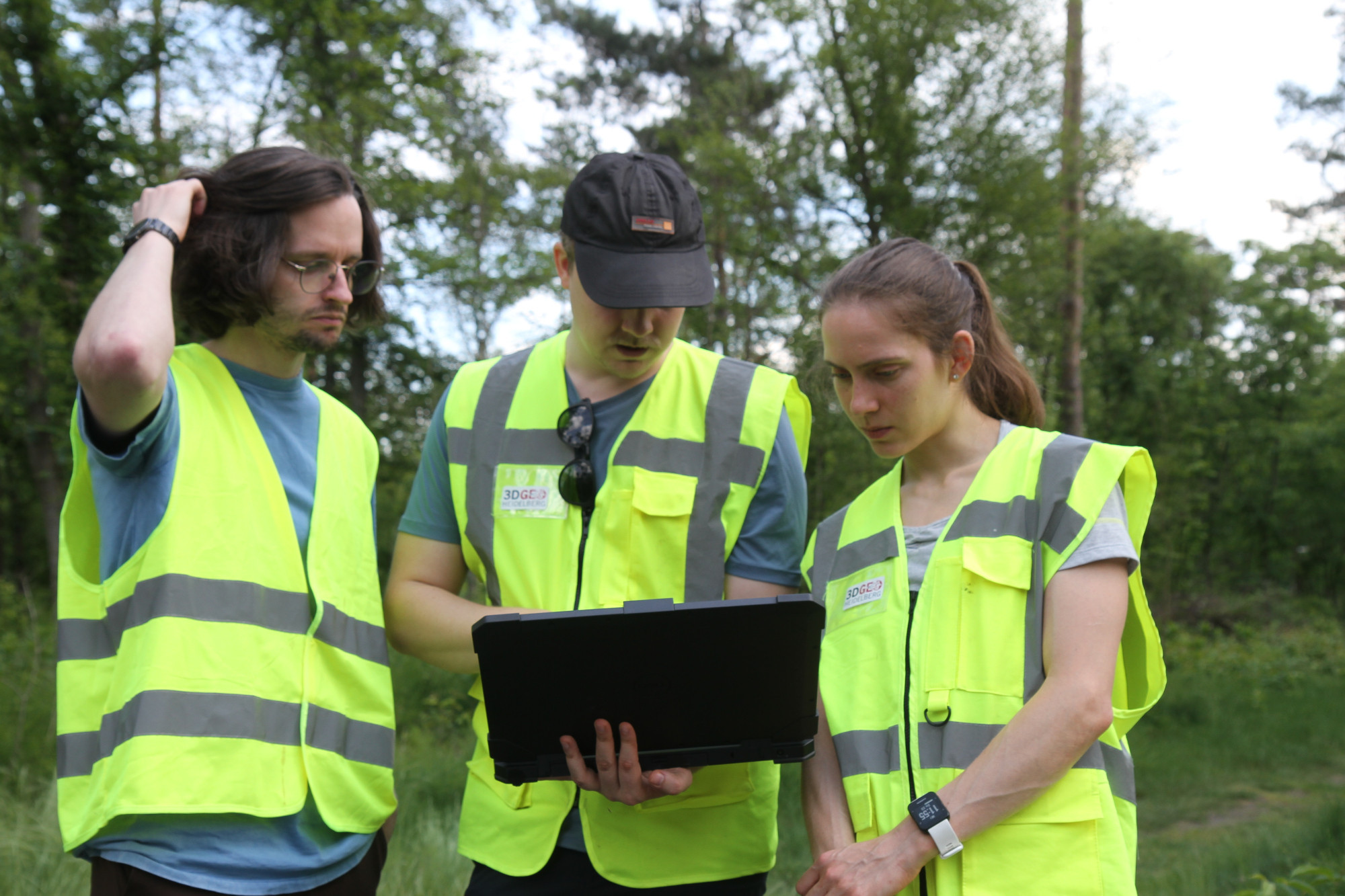
Super exciting research project of our institute, together with partners from University of Innsbruck and from the Austrian Academy of Sciences uni-heidelberg.de/ahk-4d#fieldwork#pointclouds#changeanalysis methods 🤩
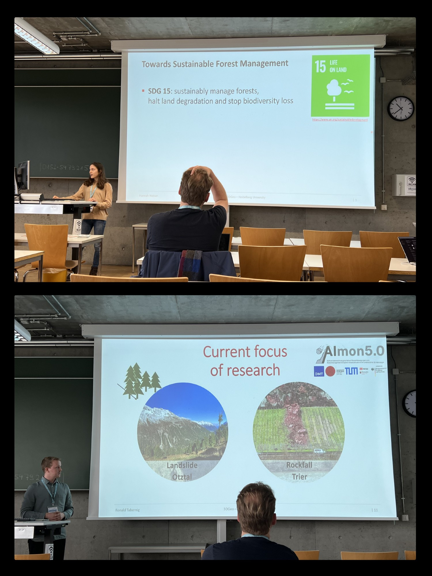
Really cool opportunity yesterday! 😎 As we are both in the early stages of our PhDs, preparing the presentation, answering questions and receiving feedback was a great help. We also got a lot of inspiration from the other participants and loved the opportunity to exchange with them. 🤝🙌
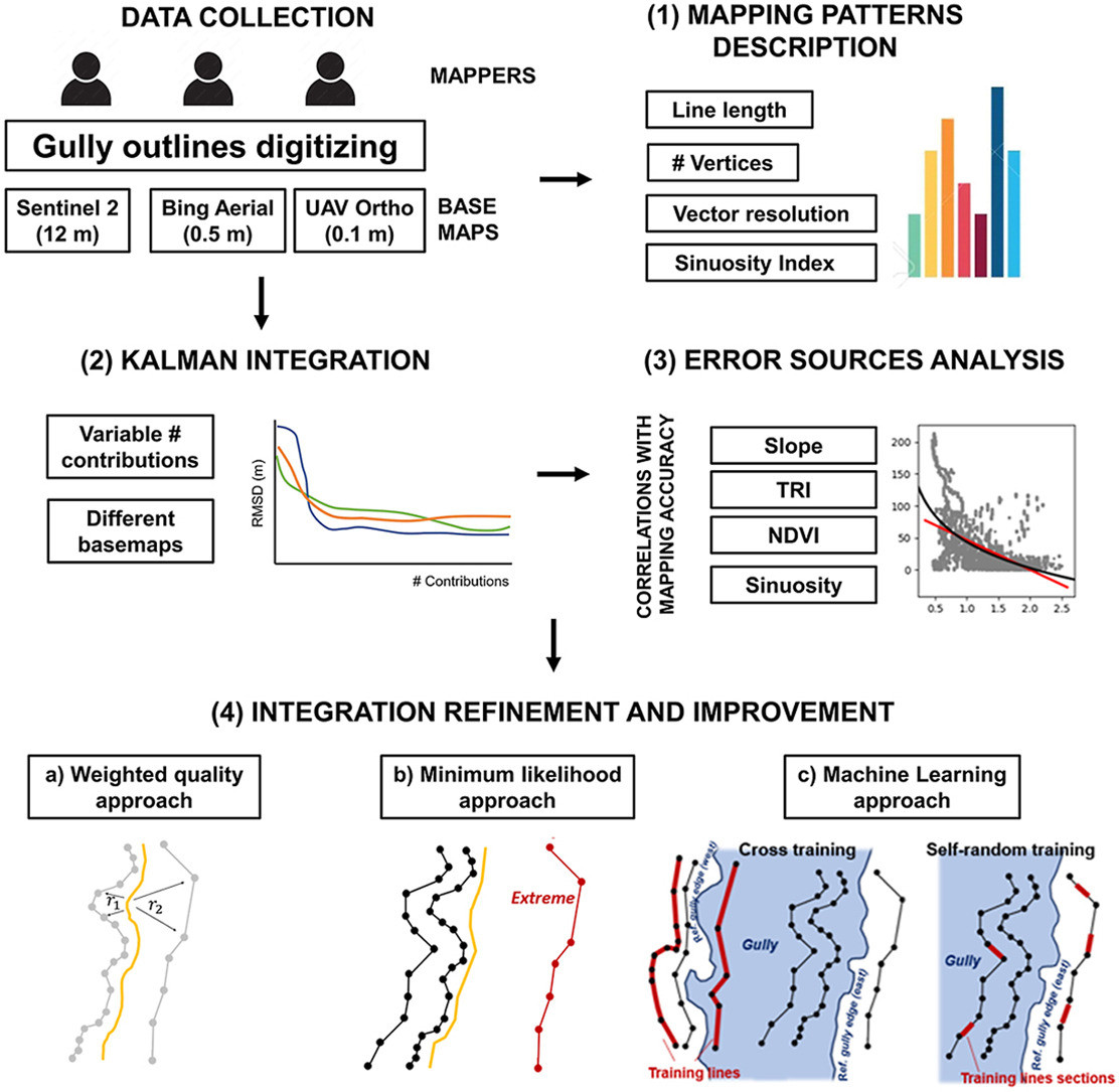
Now the published final version of our brand new article "Integrating multi-user digitising actions for mapping gully outlines using a combined approach of Kalman filtering and machine learning" can be found here: doi.org/10.1016/j.op...
📰 Cool study on mapping gully outlines in Namibia using volunteered geographic information (VGI), Kalman filtering to find a smoothed solution and machine learning to identify the key predictors for digitising quality ❕ Important contribution to soil erosion monitoring in inaccessible areas
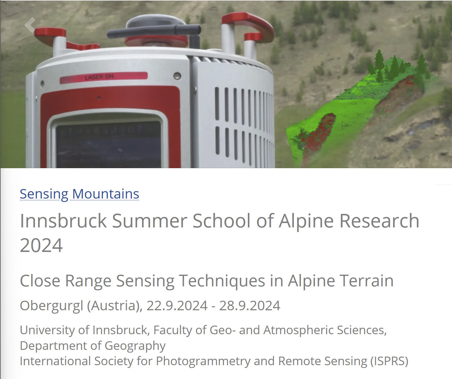
Amazing summer school! I am still grateful that I was able to take part in 2022 😊 I learned a lot, met great people and enjoyed the mountains! ⛰️🤩 10/10 would recommend!
✨Our new preprint comes with open data doi.org/10.11588/dat...#trees#syssifoss#VirtuaLearn3Dpytreedb.geog.uni-heidelberg.de/query/eyJiYW...
📢Preprint Alert!📰 "Deep learning with simulated laser scanning data for 3D point cloud classification" doi.org/10.31223/X53...#HELIOS++#VirtuaLearn3Dgiscienceblog.uni-heidelberg.de/2024/01/17/v...
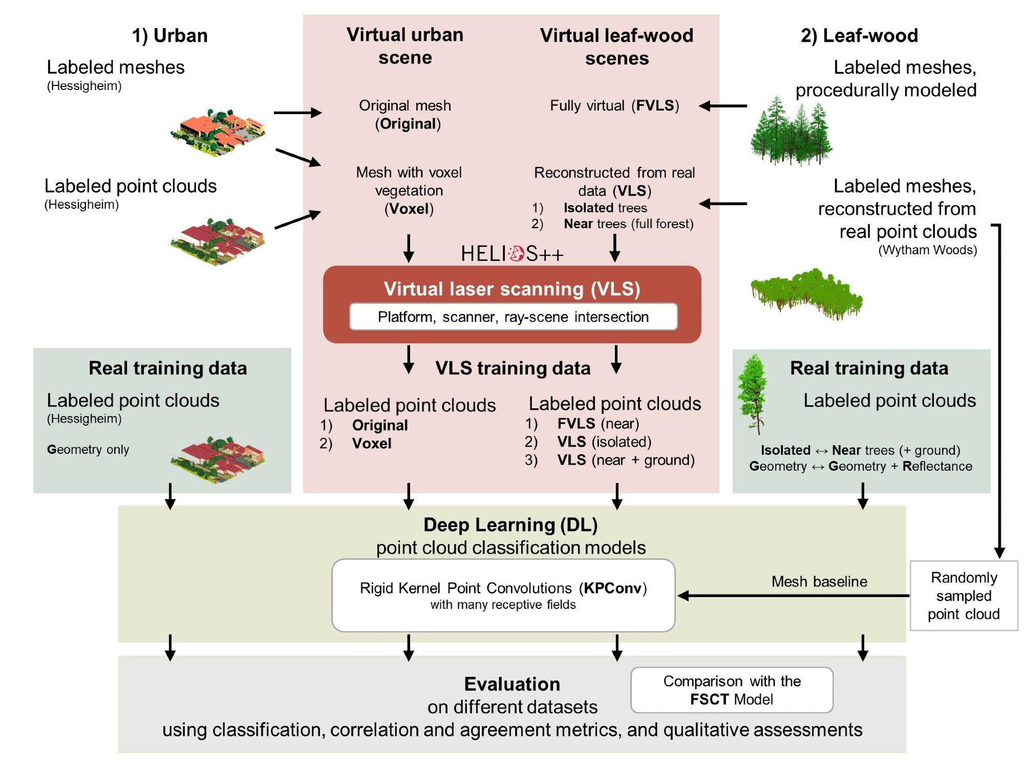
Co-authored by Prof. Bernhard Höfle (@bernhardhofle.bsky.social) and Vivien Zahs (both 3DGeo) and by Prof. Olaf Bubenzer (Geomorphology and Soil Geography) from the Institute of Geography at Heidelberg University.