BLUE
AF
Alerts from NWS Los Angeles/Oxnard CA (UNOFFICIAL)
@lax.nws-bot.us
Unofficial bot sharing alerts from NWS Los Angeles/Oxnard CA. This account is not monitored. Contact @wandrme.paxex.aero if needed.
424 followers1 following276 posts
AFlax.nws-bot.us

🚨 Red Flag Warning issued October 3 at 9:01AM PDT until October 3 at 8:00PM PDT by NWS Los Angeles/Oxnard CA 🚨 Additional Details Here.
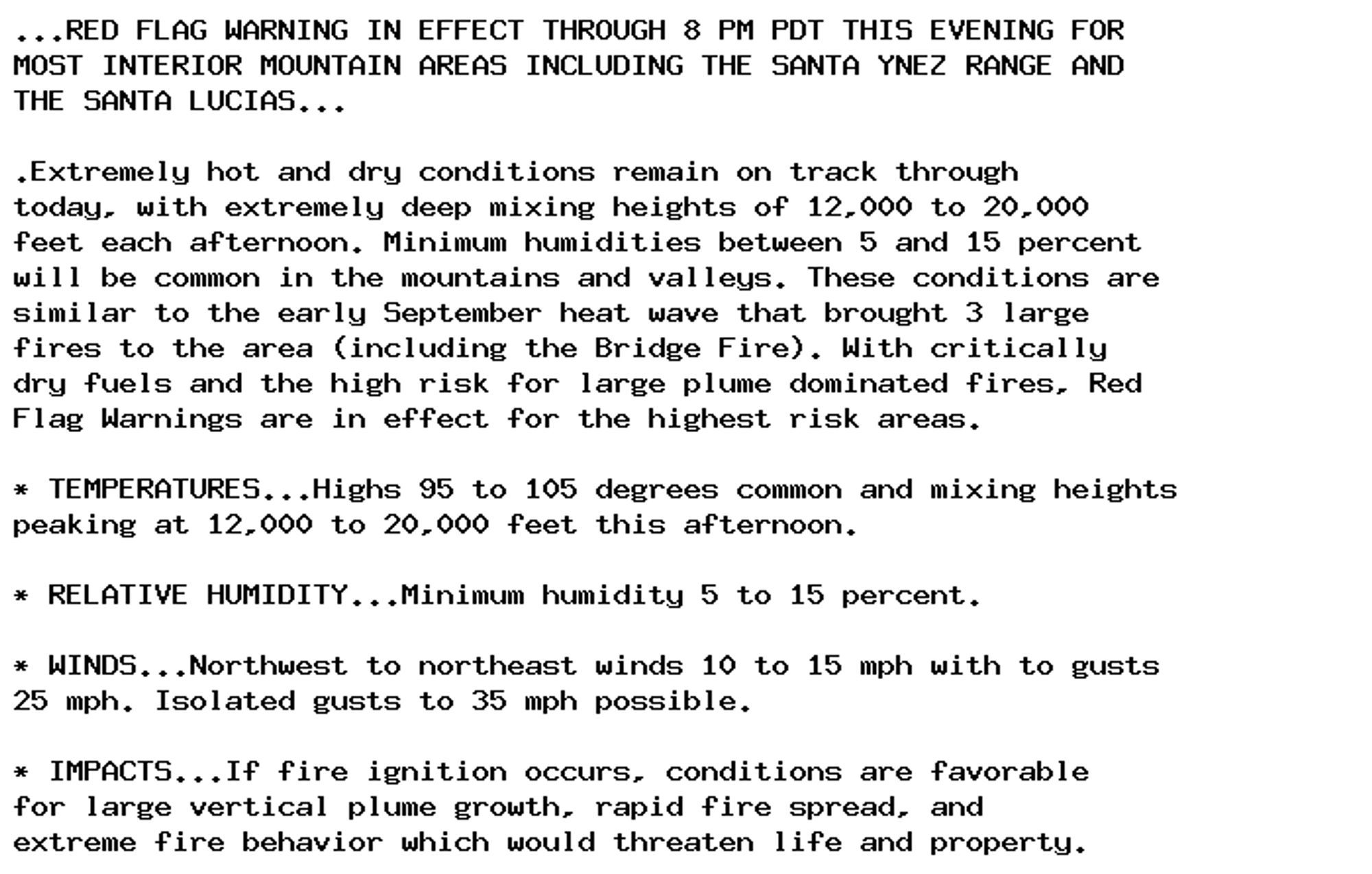
...RED FLAG WARNING IN EFFECT THROUGH 8 PM PDT THIS EVENING FOR
MOST INTERIOR MOUNTAIN AREAS INCLUDING THE SANTA YNEZ RANGE AND
THE SANTA LUCIAS...

.Extremely hot and dry conditions remain on track through
today, with extremely deep mixing heights of 12,000 to 20,000
feet each afternoon. Minimum humidities between 5 and 15 percent
will be common in the mountains and valleys. These conditions are
similar to the early September heat wave that brought 3 large
fires to the area (including the Bridge Fire). With critically
dry fuels and the high risk for large plume dominated fires, Red
Flag Warnings are in effect for the highest risk areas.

* TEMPERATURES...Highs 95 to 105 degrees common and mixing heights
peaking at 12,000 to 20,000 feet this afternoon.

* RELATIVE HUMIDITY...Minimum humidity 5 to 15 percent.

* WINDS...Northwest to northeast winds 10 to 15 mph with to gusts
25 mph. Isolated gusts to 35 mph possible.

* IMPACTS...If fire ignition occurs, conditions are favorable
for large vertical plume growth, rapid fire spread, and
extreme fire behavior which would threaten life and property.
0

AF
Alerts from NWS Los Angeles/Oxnard CA (UNOFFICIAL)
@lax.nws-bot.us
Unofficial bot sharing alerts from NWS Los Angeles/Oxnard CA. This account is not monitored. Contact @wandrme.paxex.aero if needed.
424 followers1 following276 posts