BLUE
AF
Alerts from NWS Twin Cities/Chanhassen MN (UNOFFICIAL)
@mpx.nws-bot.us
Unofficial bot sharing alerts from NWS Twin Cities/Chanhassen MN. This account is not monitored. Contact @wandrme.paxex.aero if needed.
633 followers1 following29 posts
AFmpx.nws-bot.us

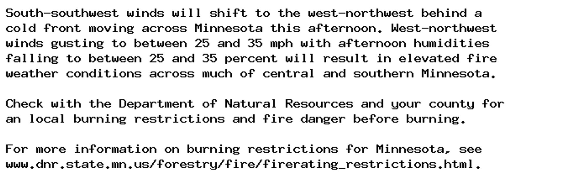
Special Weather Statement issued October 5 at 4:00AM CDT by NWS Twin Cities/Chanhassen MN Additional Details Here.

South-southwest winds will shift to the west-northwest behind a
cold front moving across Minnesota this afternoon. West-northwest
winds gusting to between 25 and 35 mph with afternoon humidities
falling to between 25 and 35 percent will result in elevated fire
weather conditions across much of central and southern Minnesota.

Check with the Department of Natural Resources and your county for
an local burning restrictions and fire danger before burning.

For more information on burning restrictions for Minnesota, see
www.dnr.state.mn.us/forestry/fire/firerating_restrictions.html.
0

AF
Alerts from NWS Twin Cities/Chanhassen MN (UNOFFICIAL)
@mpx.nws-bot.us
Unofficial bot sharing alerts from NWS Twin Cities/Chanhassen MN. This account is not monitored. Contact @wandrme.paxex.aero if needed.
633 followers1 following29 posts