OM
Or M. Bialik
@obialik.bsky.social
Sediment, climate change, and impostor syndrome | Science and SFF for the win | Writing for a living and fun | Opinions are my own (or the characters' in my head).
Academic stuff: obialik.weebly.com
Non-academic writing: ombialik.weebly.com
668 followers101 following1.1k posts
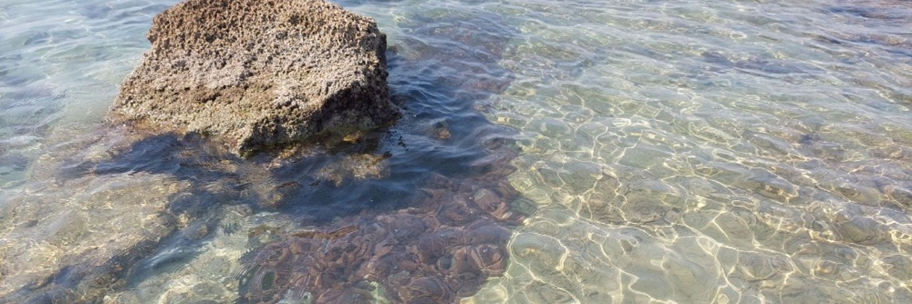
But because of various tectonic shenanigans through some parts of the Mesozoic (250 to 65 million years ago) a good chunk of Europe was flooded. This formed a collection of shallow margin (epicontinental) seas in a lot of (sedimentary) rock layers dotted across Europe were deposited.
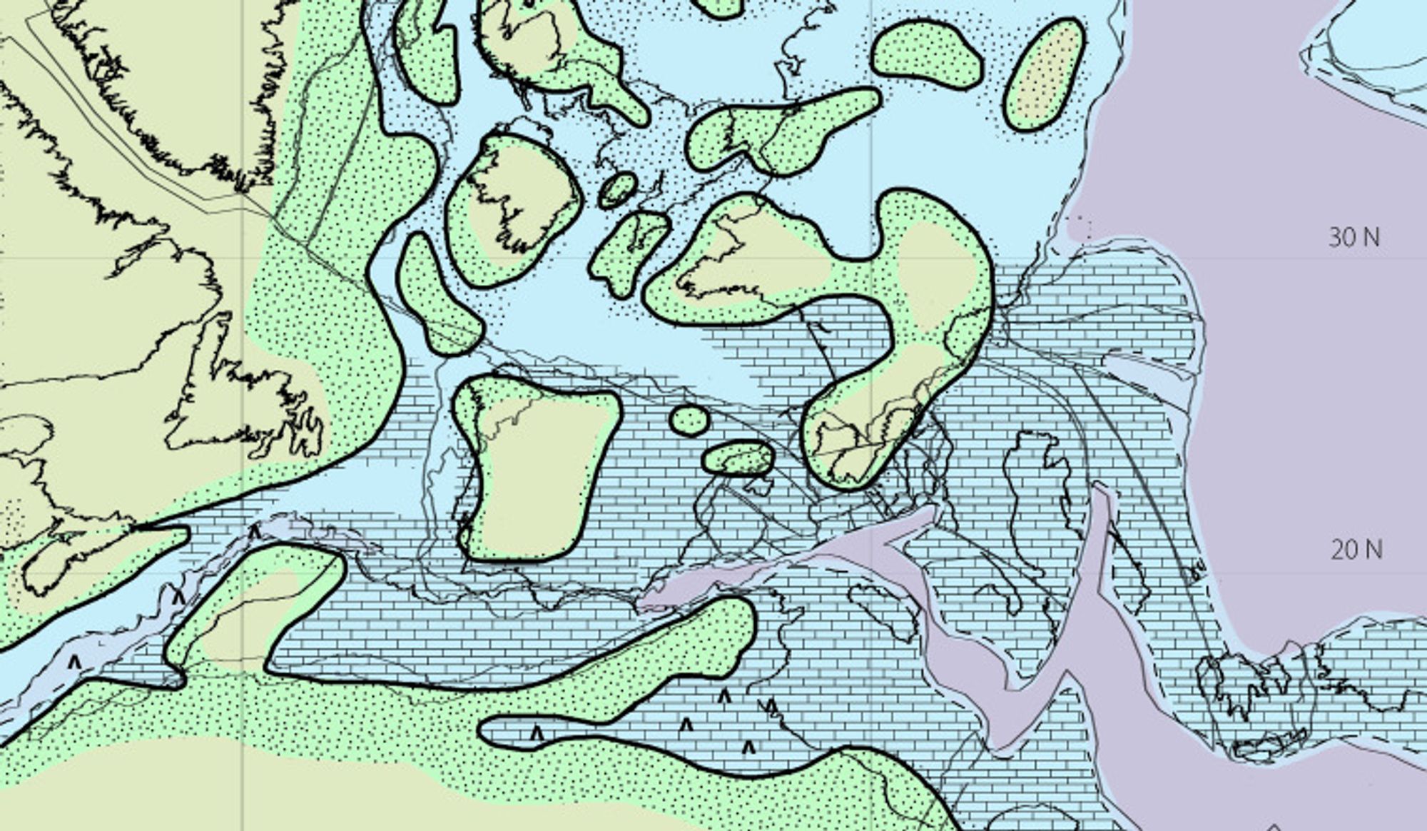
and so Tethys remained the external sea to the original internal crescent, and the internal saltwater regions should be named otherwise?
OM
Or M. Bialik
@obialik.bsky.social
Sediment, climate change, and impostor syndrome | Science and SFF for the win | Writing for a living and fun | Opinions are my own (or the characters' in my head).
Academic stuff: obialik.weebly.com
Non-academic writing: ombialik.weebly.com
668 followers101 following1.1k posts