RP
Real-time pollution and waste map
@pollutionmap.bsky.social
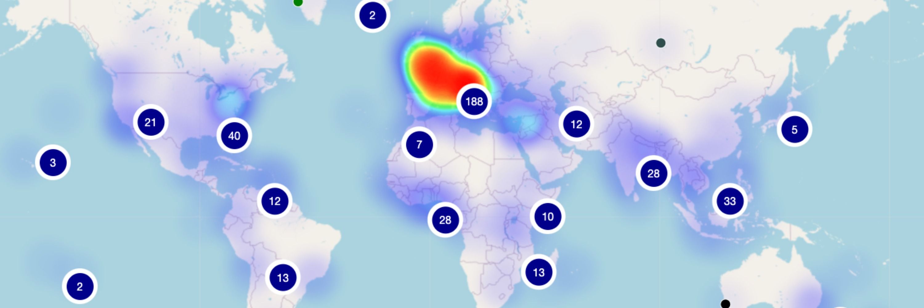
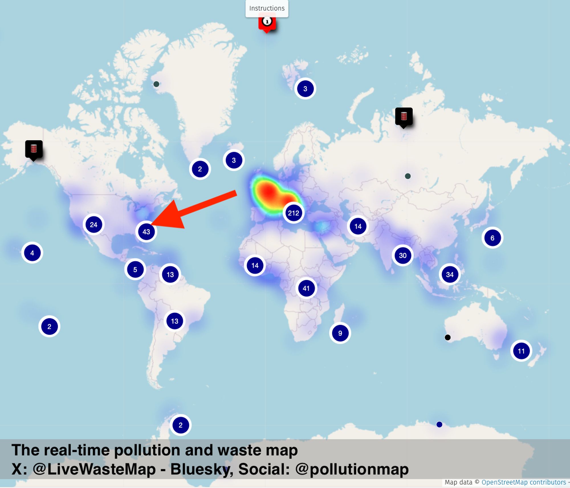
An agnostic collaborative #GIS project aimed at spotting and reporting any source of #pollution, #waste, or #litter observed in the environment on a live world map.
#PollutionMap #WasteMap
u.osmfr.org/m/911641/
25 followers22 following226 posts
Today’s pollution hotspot: 🇺🇸Oil pollution: popular beach contaminated with petroleum, Cape Hatteras, NC Type: petroleum (naphthalene/methylnaphthalene) Where: Buxton/Cape Hatteras Source: North Carolina Coastal Federation Pollution, waste plotted on a map umap.openstreetmap.fr/en/map/the-r...
RP
Real-time pollution and waste map
@pollutionmap.bsky.social
An agnostic collaborative #GIS project aimed at spotting and reporting any source of #pollution, #waste, or #litter observed in the environment on a live world map.
#PollutionMap #WasteMap
u.osmfr.org/m/911641/
25 followers22 following226 posts