
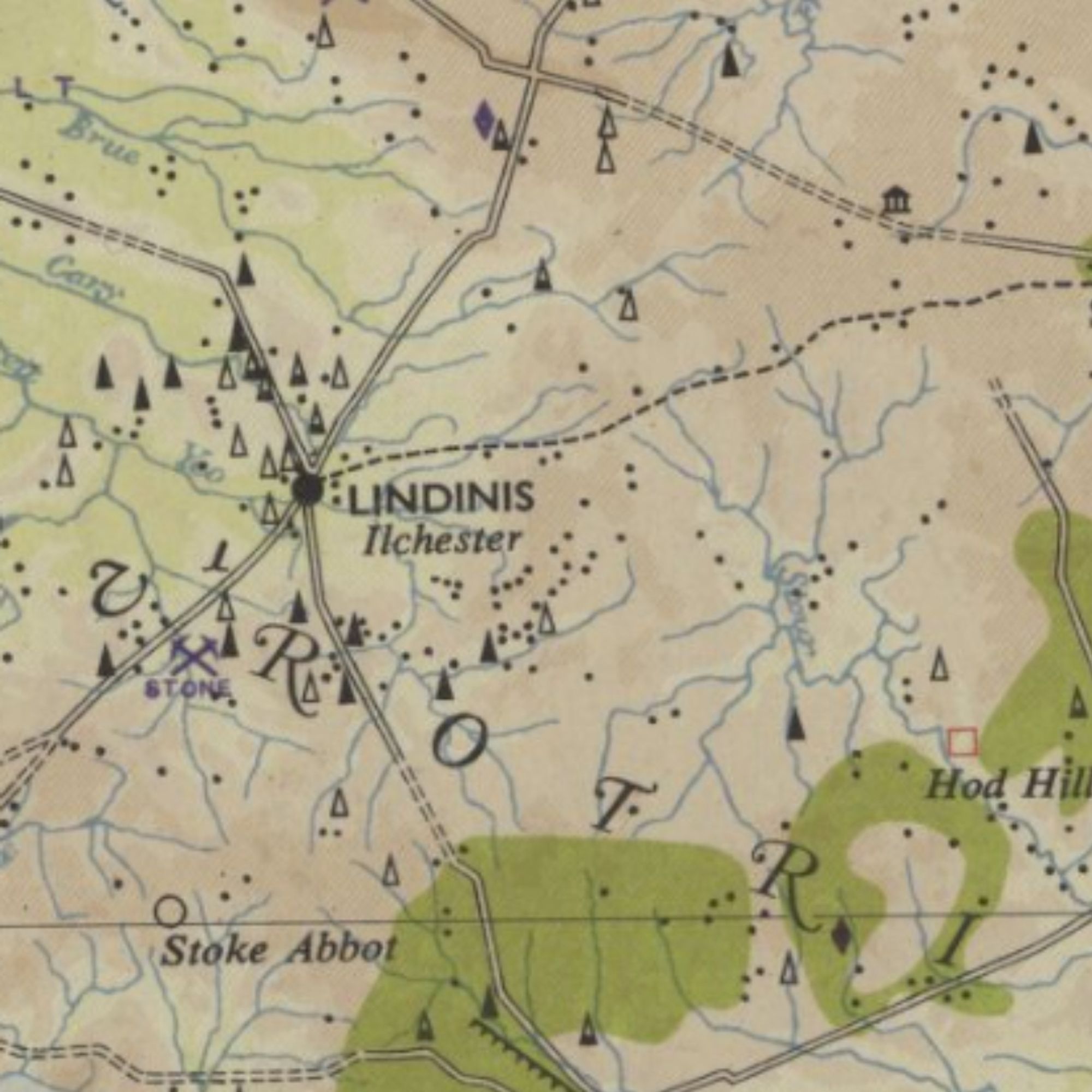
An Ordnance Survey map of Roman Britain, put together in 1956. Not super interactive or ‘geo-referenced’ but still cool. Mostly because it's funny to see which towns were important, and which simply didn’t exist. maps.nls.uk/os/great-bri...
Huh, I just realized I have a Roman Britain Ordnance Survey Map (I mean, who doesn't?) but mine was revised in 1994. So I suppose its antiquarian value is diminished.
Thanks, I love maps
Love this. Thanks.
I have a more recent (1990s sometime?) edition of this somewhere around. I should get around to seeing if there's an even newer edition.
Ordnance survey maps are one of the coolest things ever invented. Walk for a few days with only that to guide you and you’ll see what I mean.
Brilliant, I want it, but don't know where to put it, my walls are covered. Invaluable to an archaeologist I would think, or metal detectorist.
Interesting looking at Scotland, Roman influence seems to peter out around Fife, above that there's very little ...
I love Roman Britain for this reason. It’s like, “ah yes, the enduring metropolis of Cirencester, almost as important as Lincoln. And who will ever forget the power of Silchester?”
Why no roads into Cornwall? All that tin going by water?