BLUE
Profile banner
S
Sardonicus
@sardonicus.eu
Photographer, wet plate and digital. Auteur. Raconteur. Flaneur. TTRPG Humakti Runelord.
25.1k followers989 following14k posts
Ssardonicus.eu

'18th century map of Guernsey before the land reclamation joining the two islands.'

Le Braye du Valle was a tidal channel that made the northern extremity of Guernsey, Le Clos du Valle, a tidal island. Le Braye du Valle was drained and reclaimed in 1806 by the British Government as a defence measure. The eastern end of the former channel became the town and harbour (from 1820) of St. Sampson’s, now the second biggest port in Guernsey. The western end of La Braye is now Le Grand Havre. The roadway called The Bridge across the end of the harbour at St. Sampson’s recalls the bridge that formerly linked the two parts of Guernsey at high tide. New roads were built and main roads improved for military use.
2

Aandymb.bsky.social

📌

0
MSteamsmithy.bsky.social

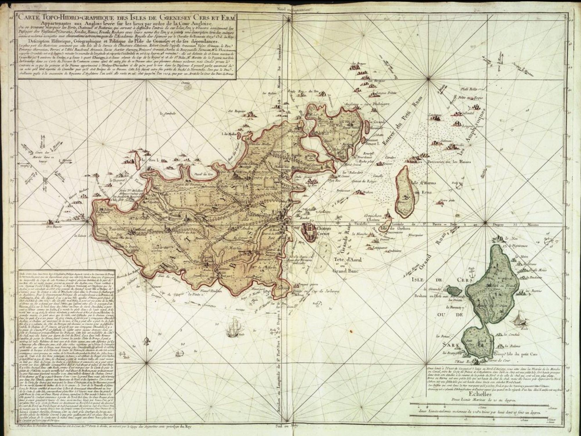
It's Sark! Spent my honeymoon there.

0
Profile banner
S
Sardonicus
@sardonicus.eu
Photographer, wet plate and digital. Auteur. Raconteur. Flaneur. TTRPG Humakti Runelord.
25.1k followers989 following14k posts