BLUE
AF
Alerts from NWS San Francisco CA (UNOFFICIAL)
@sfo.nws-bot.us
Unofficial bot sharing alerts from NWS San Francisco CA. This account is not monitored. Contact @wandrme.paxex.aero if needed.
704 followers1 following80 posts
AFsfo.nws-bot.us

🚨 Fire Weather Watch issued September 30 at 8:27PM PDT until October 3 at 8:00PM PDT by NWS San Francisco CA 🚨 Additional Details Here.
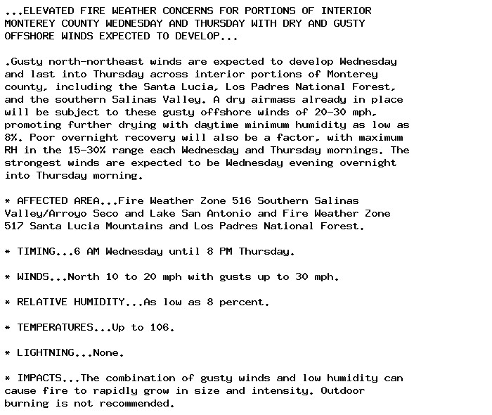
...ELEVATED FIRE WEATHER CONCERNS FOR PORTIONS OF INTERIOR
MONTEREY COUNTY WEDNESDAY AND THURSDAY WITH DRY AND GUSTY
OFFSHORE WINDS EXPECTED TO DEVELOP...

.Gusty north-northeast winds are expected to develop Wednesday
and last into Thursday across interior portions of Monterey
county, including the Santa Lucia, Los Padres National Forest,
and the southern Salinas Valley. A dry airmass already in place
will be subject to these gusty offshore winds of 20-30 mph,
promoting further drying with daytime minimum humidity as low as
8%. Poor overnight recovery will also be a factor, with maximum
RH in the 15-30% range each Wednesday and Thursday mornings. The
strongest winds are expected to be Wednesday evening overnight
into Thursday morning.

* AFFECTED AREA...Fire Weather Zone 516 Southern Salinas
Valley/Arroyo Seco and Lake San Antonio and Fire Weather Zone
517 Santa Lucia Mountains and Los Padres National Forest.

* TIMING...6 AM Wednesday until 8 PM Thursday.

* WINDS...North 10 to 20 mph with gusts up to 30 mph.

* RELATIVE HUMIDITY...As low as 8 percent.

* TEMPERATURES...Up to 106.

* LIGHTNING...None.

* IMPACTS...The combination of gusty winds and low humidity can
cause fire to rapidly grow in size and intensity. Outdoor
burning is not recommended.
0

AF
Alerts from NWS San Francisco CA (UNOFFICIAL)
@sfo.nws-bot.us
Unofficial bot sharing alerts from NWS San Francisco CA. This account is not monitored. Contact @wandrme.paxex.aero if needed.
704 followers1 following80 posts