BLUE
SF
SPC Fire Weather Outlooks Alerts (UNOFFICIAL)
@spc-fire.nws-bot.us
Unofficial bot sharing alerts from the NWS SPC Fire Weather Outlook. This account is not monitored. Contact @wandrme.paxex.aero if needed.
18 followers1 following75 posts
SFspc-fire.nws-bot.us

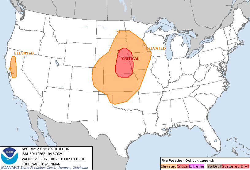
SPC Day 2 Fire Weather Outlook posted at Wed, 16 Oct 2024 19:57:29 +0000 🔥CRITICAL FIRE WEATHER AREA FOR NORTHERN KANSAS🔥 Additional Details Here.
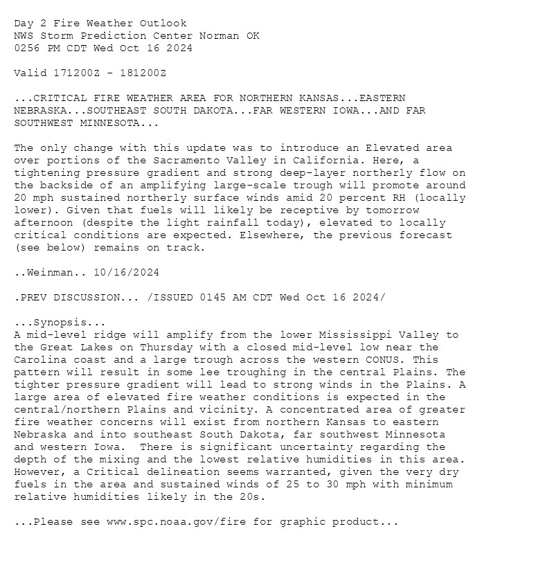
Day 2 Fire Weather Outlook  
NWS Storm Prediction Center Norman OK
0256 PM CDT Wed Oct 16 2024

Valid 171200Z - 181200Z

...CRITICAL FIRE WEATHER AREA FOR NORTHERN KANSAS...EASTERN
NEBRASKA...SOUTHEAST SOUTH DAKOTA...FAR WESTERN IOWA...AND FAR
SOUTHWEST MINNESOTA...

The only change with this update was to introduce an Elevated area
over portions of the Sacramento Valley in California. Here, a
tightening pressure gradient and strong deep-layer northerly flow on
the backside of an amplifying large-scale trough will promote around
20 mph sustained northerly surface winds amid 20 percent RH (locally
lower). Given that fuels will likely be receptive by tomorrow
afternoon (despite the light rainfall today), elevated to locally
critical conditions are expected. Elsewhere, the previous forecast
(see below) remains on track.

..Weinman.. 10/16/2024

.PREV DISCUSSION... /ISSUED 0145 AM CDT Wed Oct 16 2024/

...Synopsis...
A mid-level ridge will amplify from the lower Mississippi Valley to
the Great Lakes on Thursday with a closed mid-level low near the
Carolina coast and a large trough across the western CONUS. This
pattern will result in some lee troughing in the central Plains. The
tighter pressure gradient will lead to strong winds in the Plains. A
large area of elevated fire weather conditions is expected in the
central/northern Plains and vicinity. A concentrated area of greater
fire weather concerns will exist from northern Kansas to eastern
Nebraska and into southeast South Dakota, far southwest Minnesota
and western Iowa.  There is significant uncertainty regarding the
depth of the mixing and the lowest relative humidities in this area.
However, a Critical delineation seems warranted, given the very dry
fuels in the area and sustained winds of 25 to 30 mph with minimum
relative humidities likely in the 20s.

...Please see www.spc.noaa.gov/fire for graphic product...
Day 2 Fire Weather Outlook Image
0

SF
SPC Fire Weather Outlooks Alerts (UNOFFICIAL)
@spc-fire.nws-bot.us
Unofficial bot sharing alerts from the NWS SPC Fire Weather Outlook. This account is not monitored. Contact @wandrme.paxex.aero if needed.
18 followers1 following75 posts