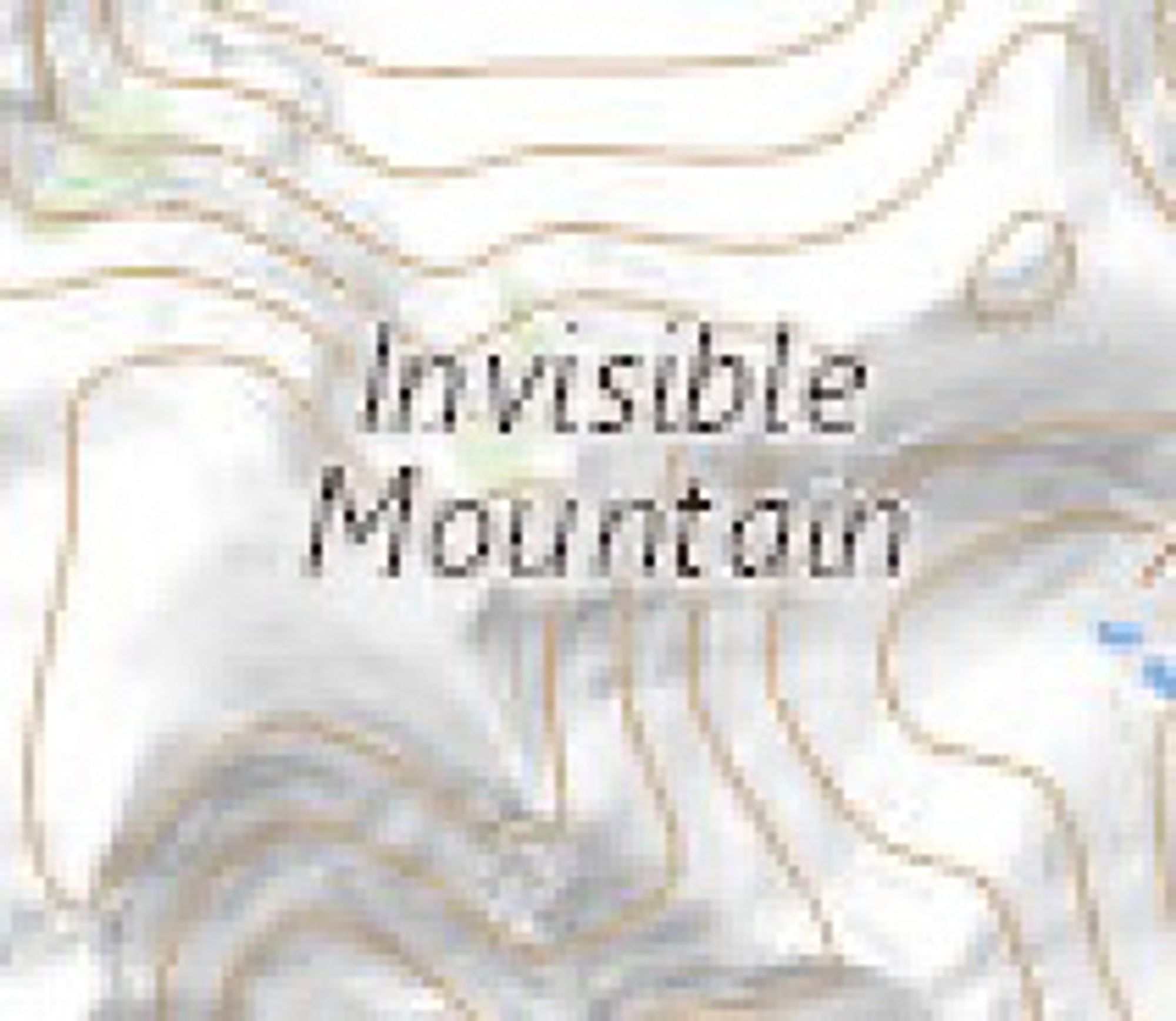
All the images in this thread are geographic features from the US National Map (apps.nationalmap.gov/viewerwww.usgs.gov/us-board-on-...
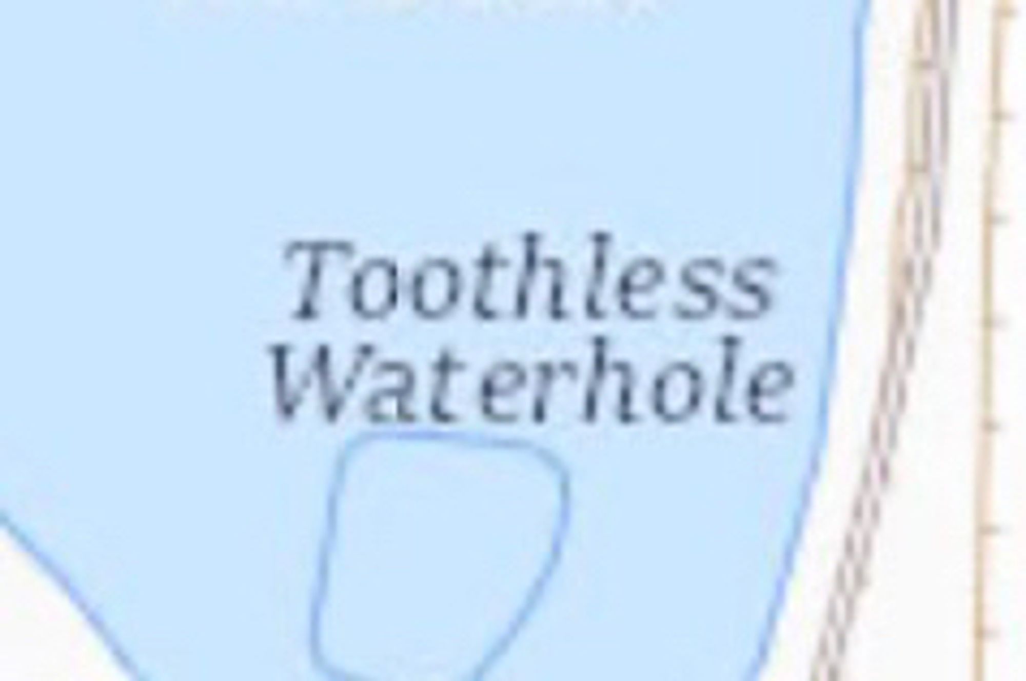
Toothless Waterhole sounds fine bit I don't like what it implies about every other waterhole.
In Washington one of the more popular alpine lake hikes is to Lake 22.
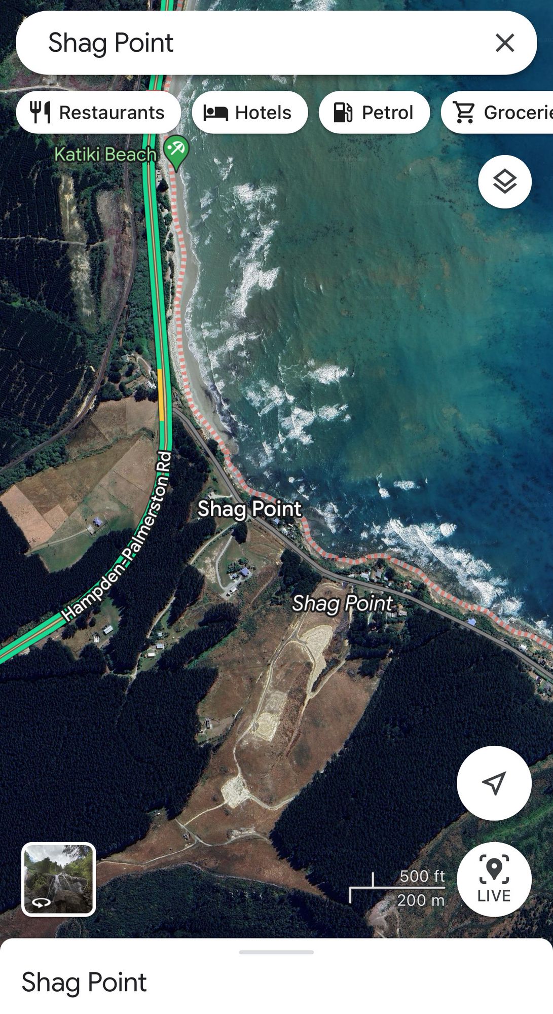
new zealand has the avenue of the disappearing mountain, where an optical illusion causes the mountain ahead of you to get smaller as you approach, but an invisible mountain is slightly more impressive.
Did you know Grand Teton means Big Tit in French?
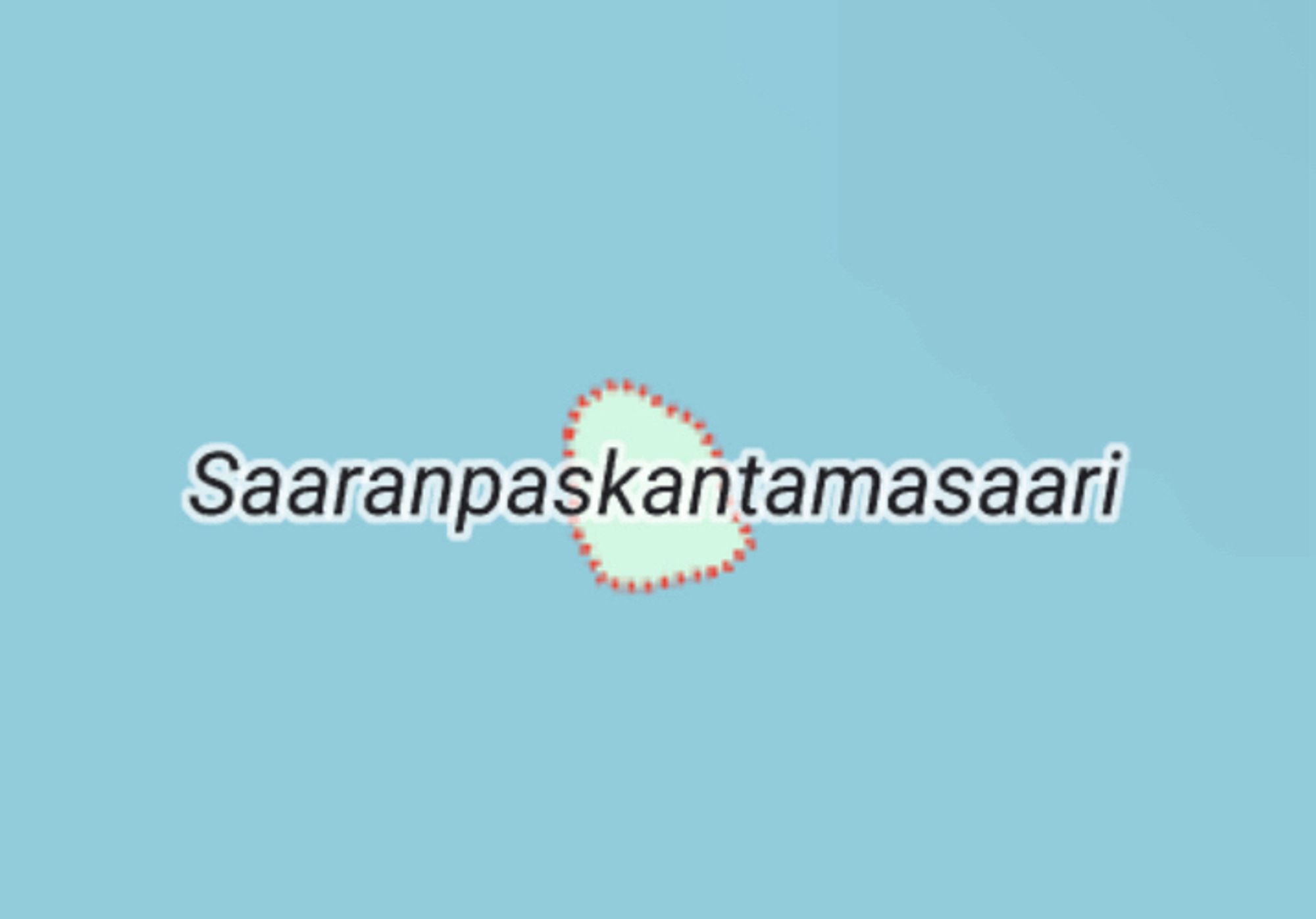
this is from google maps but i know it’s real and it’s the Actual Name in Nimiarkisto, which is maintained by the Research Institute for the Languages of Finland. it basically means “the island shit [into existence] by Saara”
The most worrying one is the toothless waterhole. Is Teeth a common feature of waterholes over there?
Why am I inclined to be SUPER skeptical of Toothless Waterhole?