save the date! i'm giving a free talk at the boston public library about boston's italian-american mutual aid societies in a few weeks... #BostonMA#MutualAidbpl.bibliocommons.com/events/66b3b...
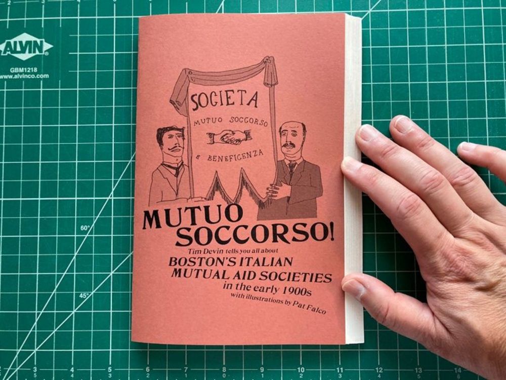
Tim Devin's Mutuo Soccorso: Boston's Italian Mutual Aid Societies in the early 1900s. In the early 1900s, there were over 150 Italian mutual aid societies in the Boston area. They provided Italian imm...
And it's not just Somerville Public Library that is seeing safety issues and violence. Here's a really terrifying article about something that happened at Boston Public Library this week... #BostonMA#SomervilleMA#Librarieswww.nbcboston.com/news/local/m...
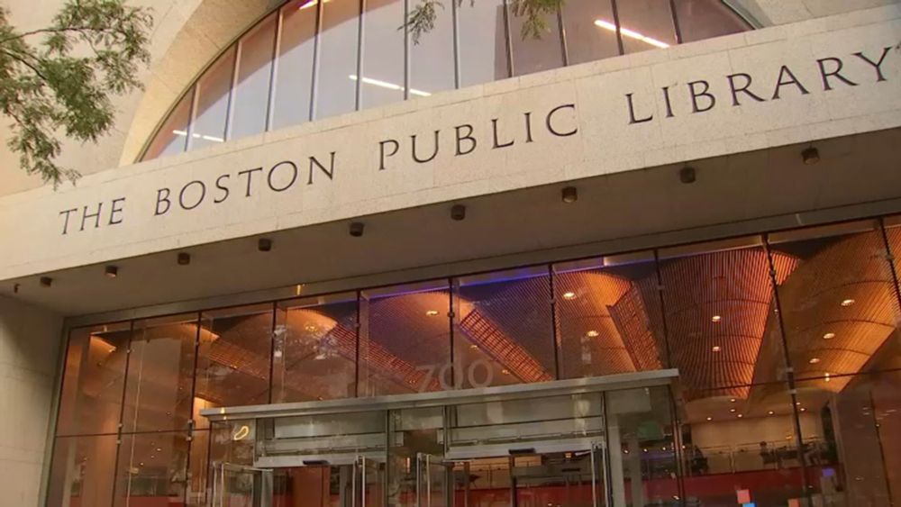
An axe was used in a fight this week at the Boston Public Library. Police say a man with an axe and a man with a knife began brawling around 11:30 a.m. Monday at the library on Boylston Street. Noctis...
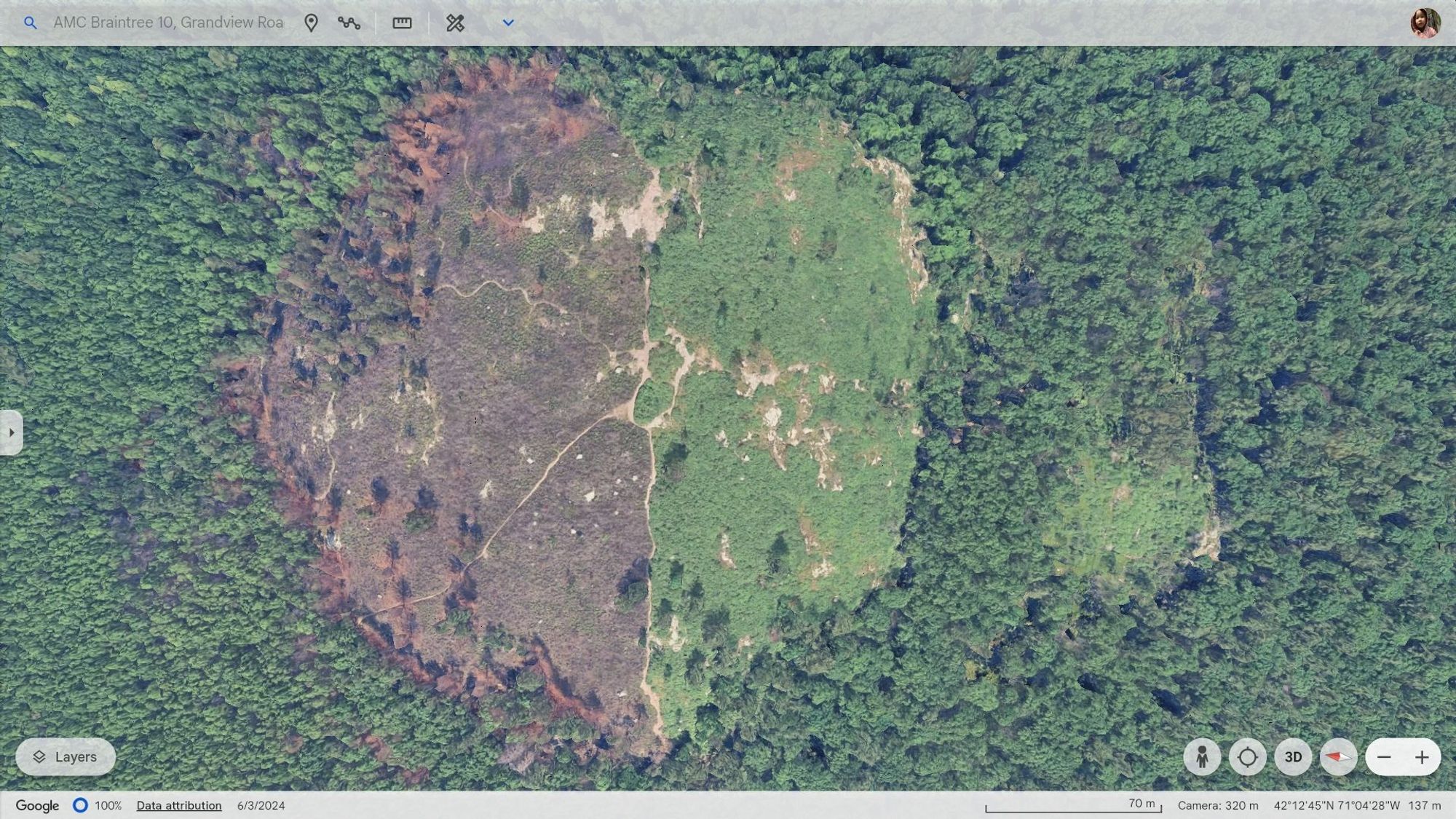
Google Earth imagery of Buck Hill from June 3rd, 2024 showing fire damage on the north side of the hill. See alt text for more... #GoogleEarth#buckhill#buckhillfire#bluehills#bluehillsfire#bluehillsreservation#boston#BostonMA#MiltonMA#RandolphMA#QuincyMA
The Boston Convention and Exhibition Center, 415 Summer St, South Boston MA photographed from Buck Hill. #buckhill#bluehills#bluehillsreservation#boston#BostonMA#SouthBoston#SouthBostonMA#BostonSeaport#landscape#LandscapePhotography#photography#LongDistanceObservations
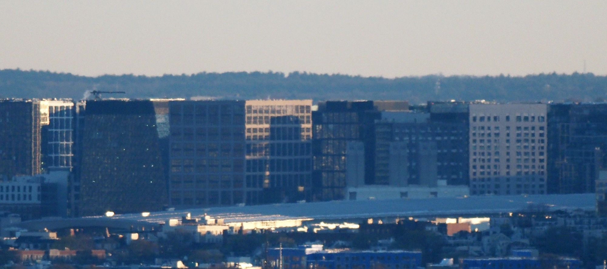
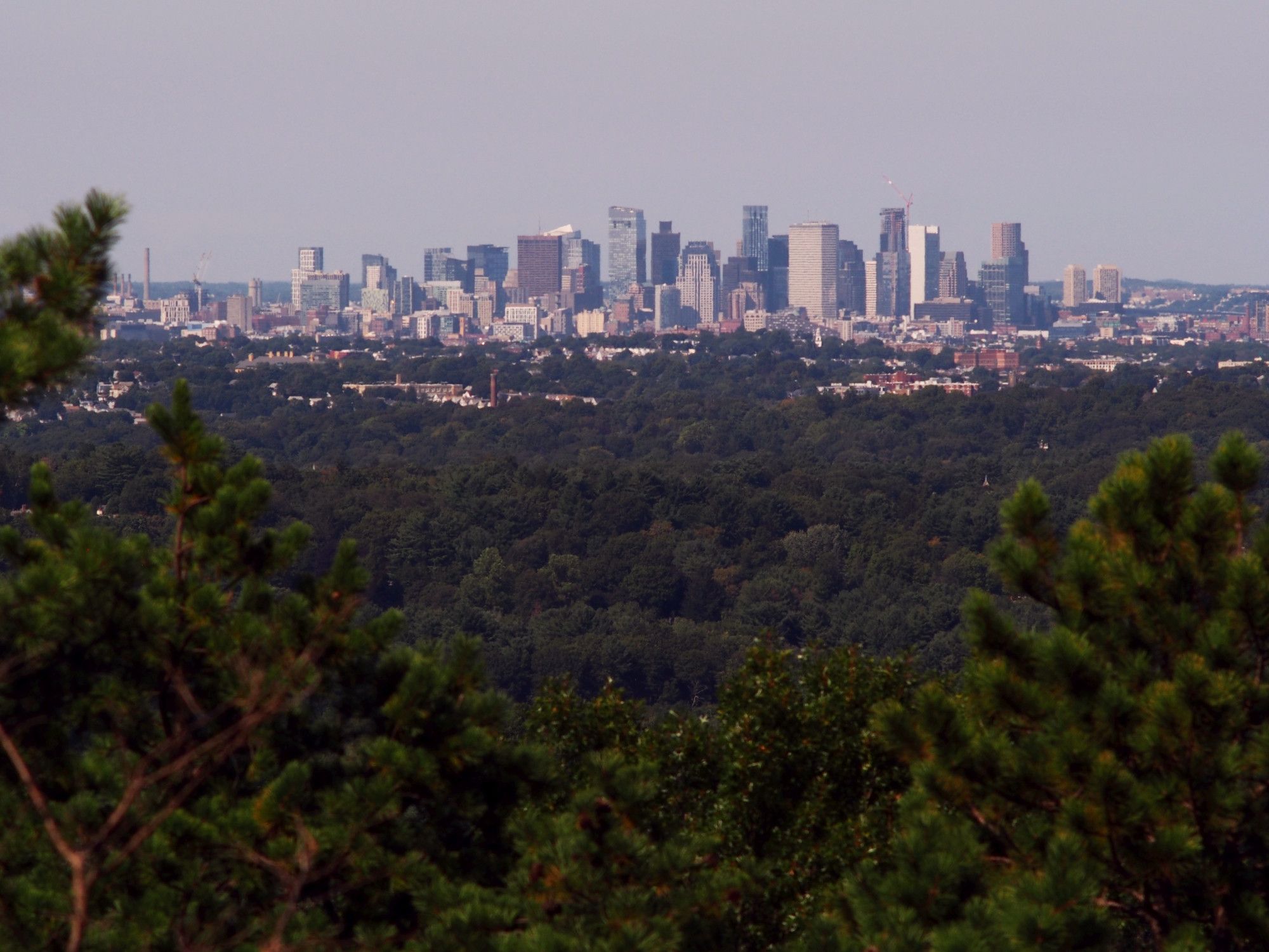
The skyscrapers of downtown Boston MA, photographed from Buck Hill. #buckhill#bluehills#bluehillsreservation#Boston#BostonMA#Dorchester#DorchesterMA#landscape#LandscapePhotography#photography#LongDistanceObservations
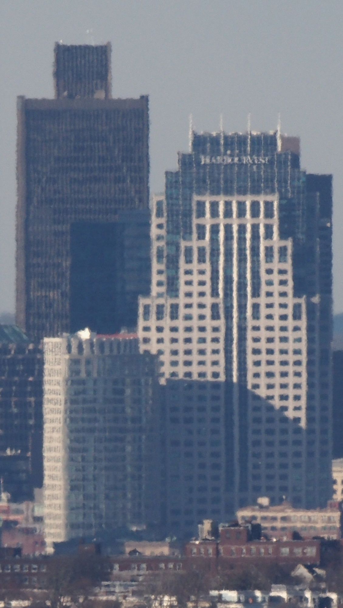
One Boston Place, 201 Washington Street and One Lincoln Street, both in Boston MA, photographed from Buck Hill. #buckhill#bluehills#bluehillsreservation#Boston#BostonMA#Dorchester#DorchesterMA#landscape#LandscapePhotography#photography#LongDistanceObservations
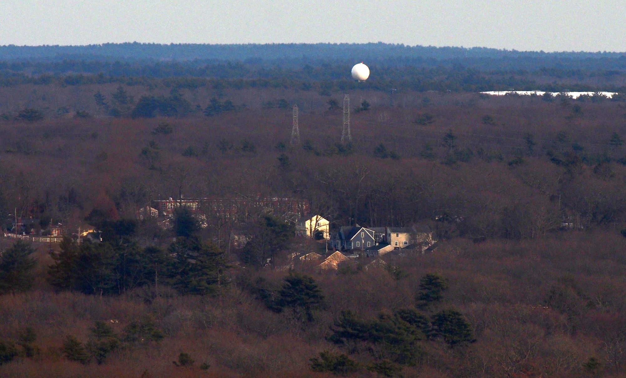
Doppler Radar Tower, Naval Air Station South Weymouth, South Weymouth MA photographed from Buck Hill. #buckhill#bluehillsreservation#boston#BostonMA#Weymouth#WeymouthMA#SouthWeymouth#SouthWeymouthMA#Braintree#BraintreeMA#LandscapePhotography#photography#LongDistanceObservations
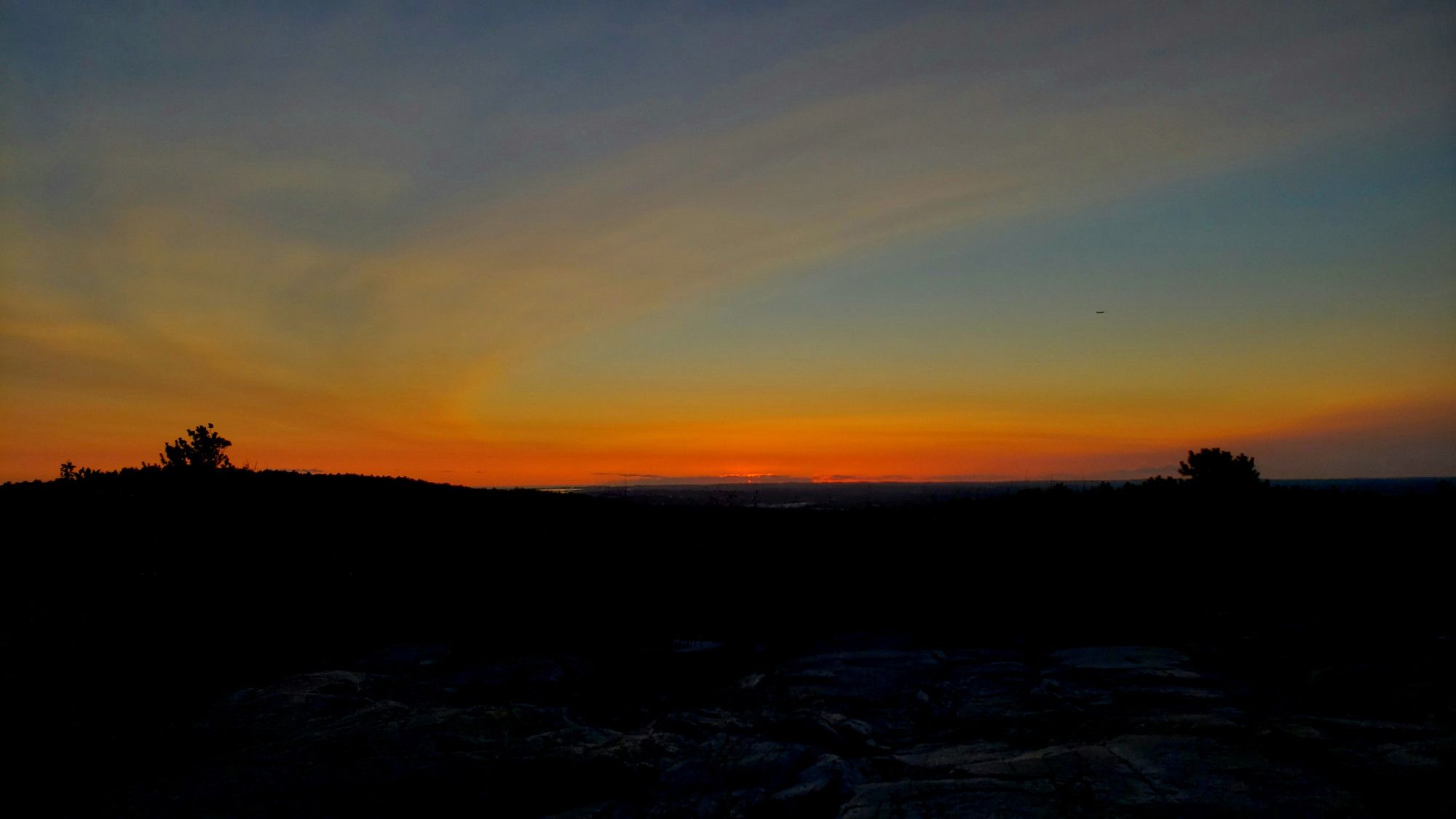
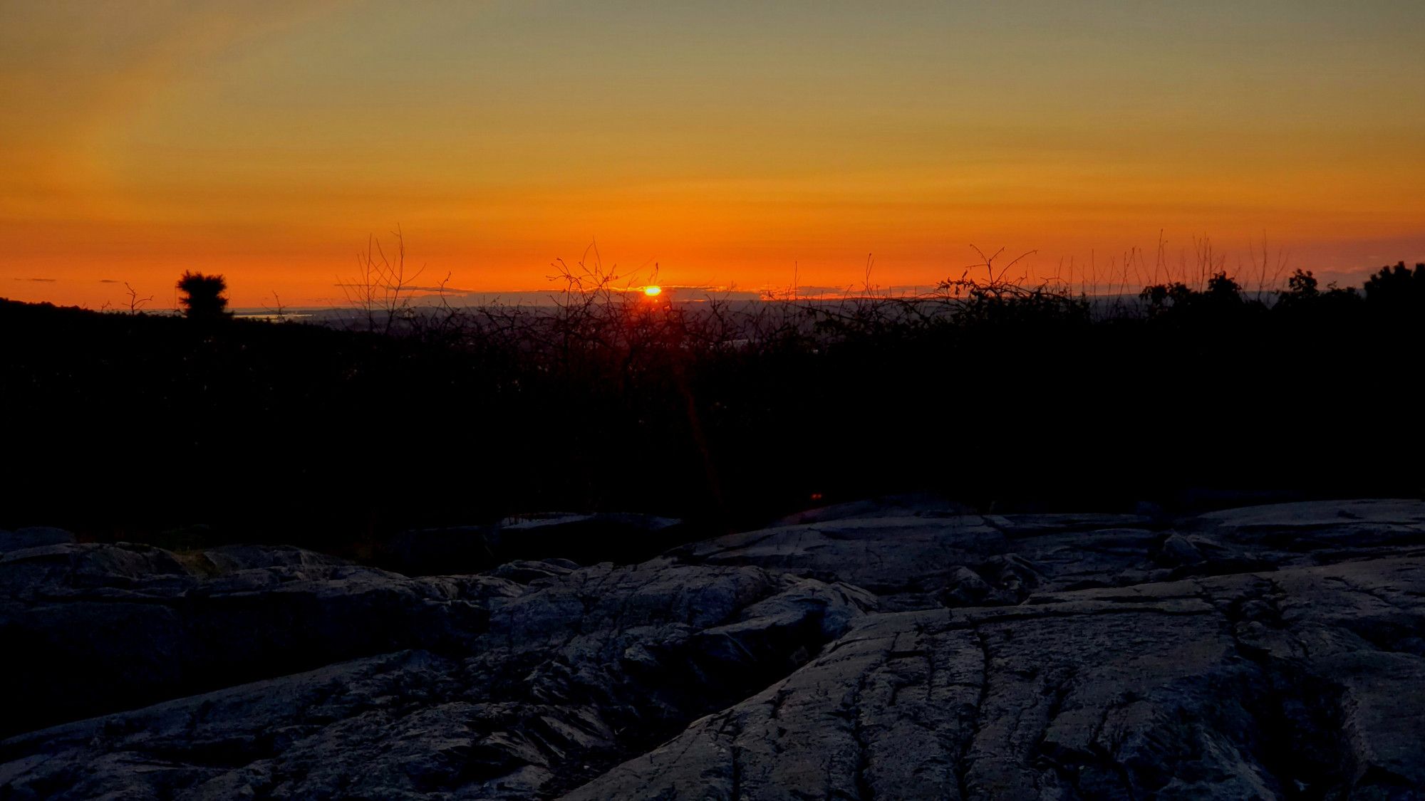
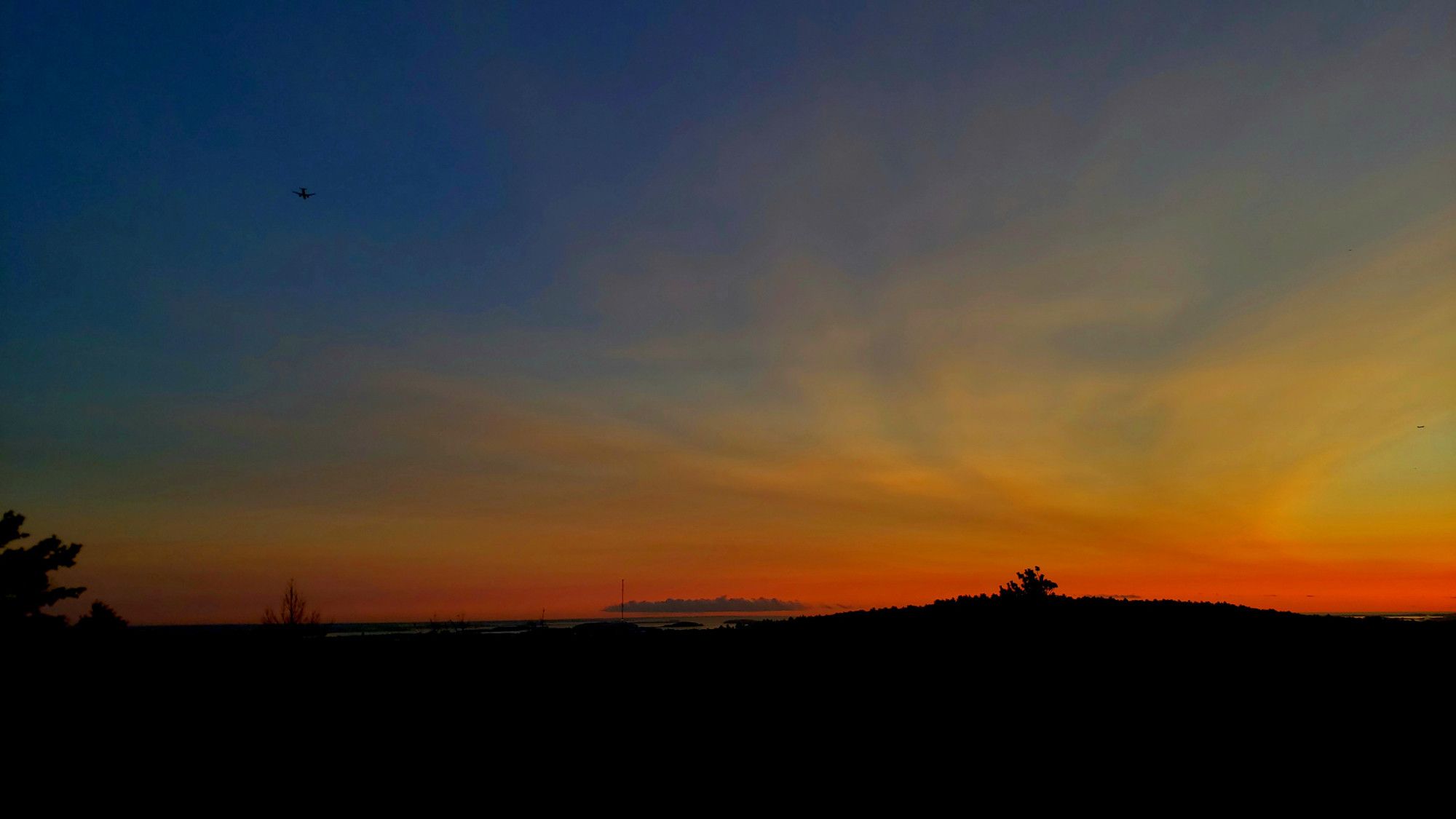
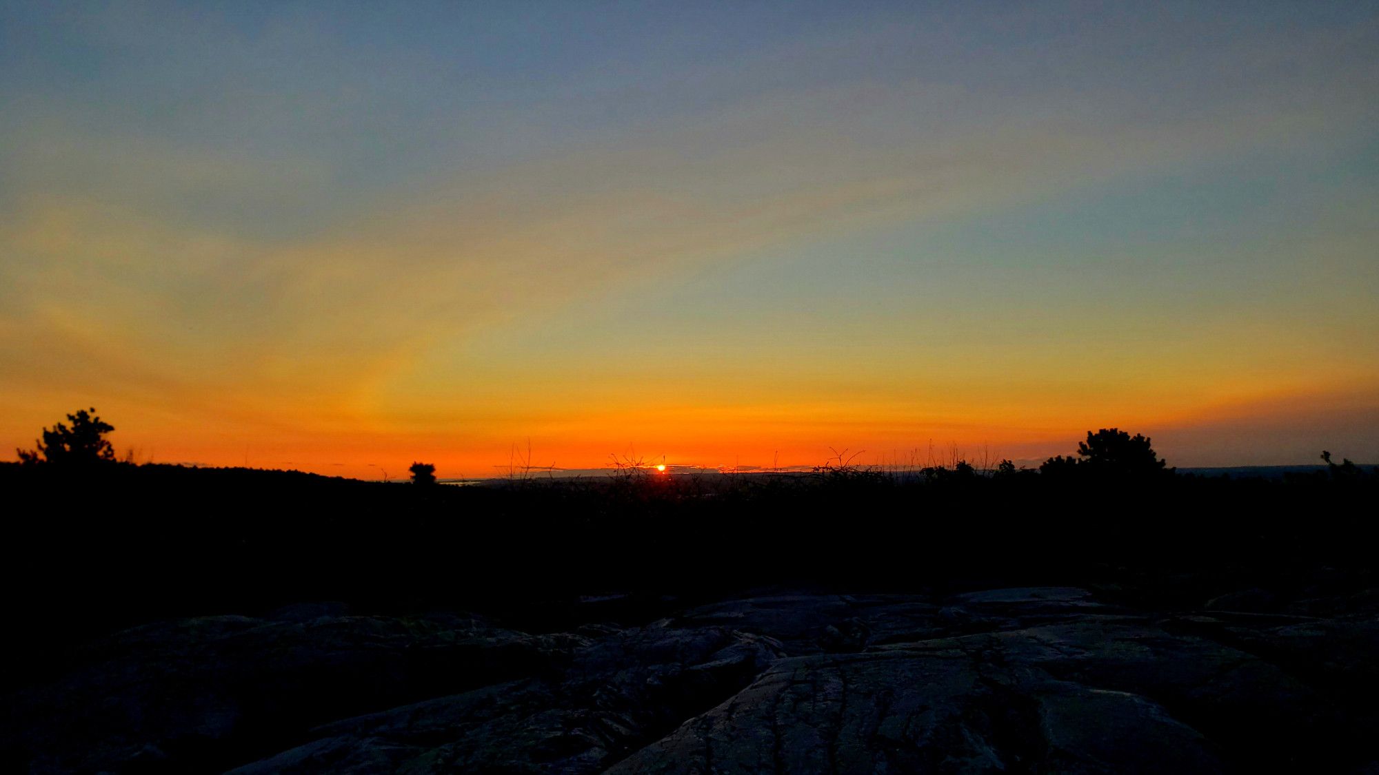
Dawn and sunrise this morning, August 30th, from Buck Hill! #buckhill#bluehills#bluehillsreservation#boston#BostonWX#BostonMA#Hull#HullMA#landscape#LandscapePhotography#photography#LongDistanceObservations#weather#sunrise