BLUE

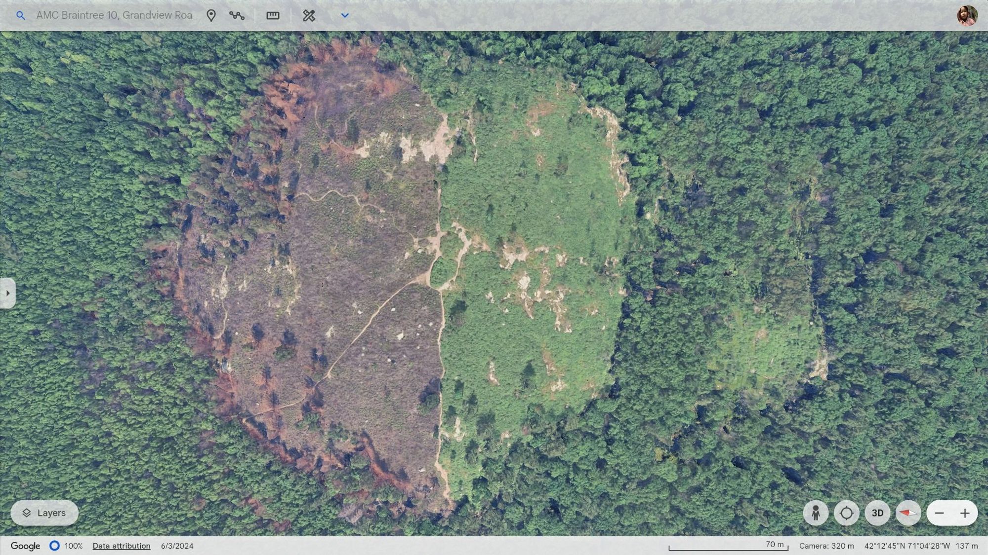
Google Earth imagery of Buck Hill from June 3rd, 2024 showing fire damage on the north side of the hill. See alt text for more... #GoogleEarth#buckhill#buckhillfire#bluehills#bluehillsfire#bluehillsreservation#boston#BostonMA#MiltonMA#RandolphMA#QuincyMA

Google Earth imagery of Buck Hill from June 3rd, 2024.

This photo is quite remarkable in that it clearly shows the remnants of the Buck Hill fire that occurred on April 27th, 2024, about five weeks prior. North is to the left. I orientated the image such that The Skyline Trail runs from top to bottom. One can clearly see that the fire devastated the north side of the hill. It seems to have burned right up to the Skyline trail and then somehow stopped. Did this happen because firefighting crews were able to get up that trail and establish a barrier? Or was it simply a case where the fire could not jump the trail, which is fairly wide? This photo also shows how lightly forested the top of Buck Hill actually is.

#GoogleEarth #buckhill #buckhillfire #bluehills #bluehillsfire #bluehillsreservation #boston #BostonMA #MiltonMA #RandolphMA #QuincyMA
0