Giulio Rigoni, Nicola Scremin, Mauro Conti Towards a Self-rescuing System for UAVs Under GNSS Attack https://arxiv.org/abs/2410.02442
Bom dia pra você que desvendou os segredos do pós-processamento de GNSS usando estações de referência do IBGE.
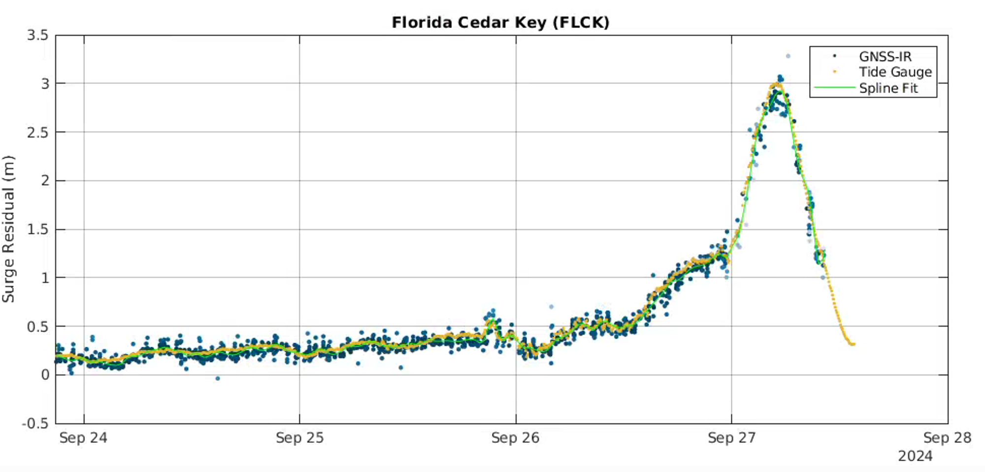
GNSS (GPS and the like) can be used to measure water level, using reflectometry. The direct signal from the satellite also arrives late at the receiver due to reflection off the sea, and signal-to-noise levels change with the angle as the satellite passes overhead. 🌊
The storm surge at Cedar Key, Florida from Hurricane Helene measured by a tide gauge and from GNSS-Interferometric Reflectometry
Quectel launches QLM29H GNSS receivers with dual-band precision https://bit.ly/3ZDSbFO#IoT#IPv6#M2M#InternetOfThings#tech#IoE#news
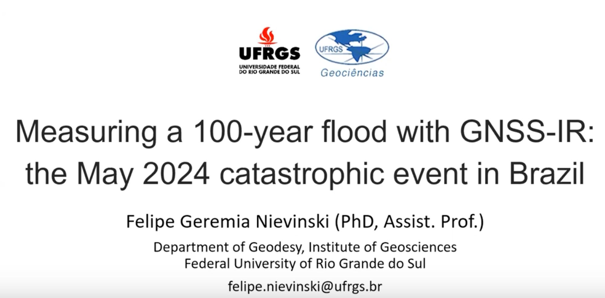
What can you do when all the traditional water sensors fail? This seminar shows how reflected GNSS signals were used to measure the flooding in southern Brazil last May. www.youtube.com/watch?v=8A6_...
LAUNCH of Lijian-1 from Jiuquan at 2333 UTC Sep 24 with the AIRSAT-01, 02 and Jilin-1 SAR-01A radar satellites and the Yunyao-1 21 and 22 GNSS-RO meteorology sats.
Nooh. Aika moneen paikkaan tarvitaan cm-tarkkuutta. Vaikka esim dronekartoitukseen/pellot. Nooh kaikkeen rakentamiseen mihin tällä hetkellä tarvitaan ammattilaisen gnss/gps -laitteita. Kyllähän paikannus toimii jo nyt kännykässä mutta tarkkuus ei ole vielä kovin tarkkaa.
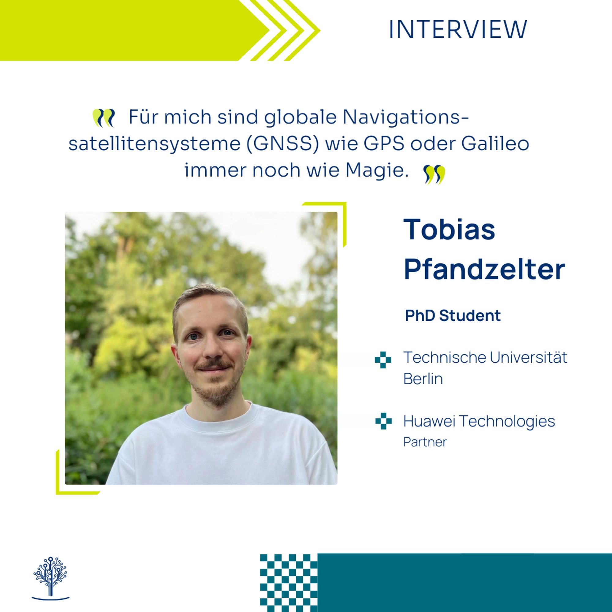
🚀 Meet Tobias Pfandzelter A PhD student at #TUBerlin#serverless#edge#computing#SoftwareCampus#Huaweisoftwarecampus.de/en/teilnehme...