It’s the depth of the river at tracking stations which are normally on bridges. They take the topography, estimate the river depth warn people what areas will flood. The river rise is slow moving. There are still warnings on NOAA flooding down river from the hurricane.
Resuming today with Cat Prueitt, The direction of the artist, the direction of the connoisseur: Abhinavagupta on the arts of agency. She starts with a metaphor, the topography of artistic creation. 32/
🤣 Maybe it’s a Pennsylvania thing…something to do with the topography and how the hillsides are like natural billboards. There used to be a guy who spelled out “I love Mary” on his hillside for his wife. On the other hand, someone put a “Harris-Walz” flag on their fence. It was gone in hours.
My dad told me that he heard the flooding was cause the dams failed. When I told him no it's because Asheville's topography is like Haiti's and it rained a lot he instantly grasped it and also why aid was tricky. Idk how you dispel misinformation to people with zero context
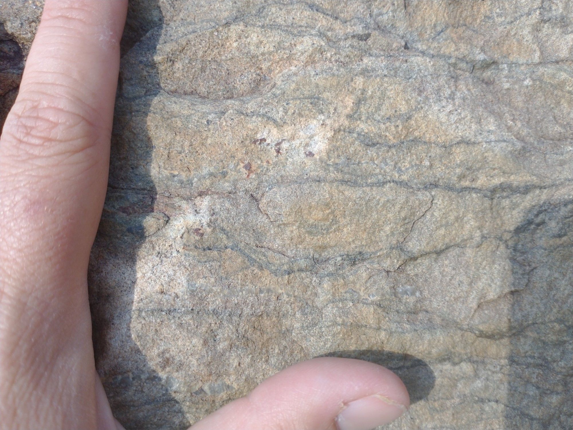
This #FossilFriday, say hello to "crinklies"! The fine dark lines on this rock face are 3.2 billion-year-old fossilized microbial mats. Nicknamed "crinklies" for their shallow dips and peaks, which indicate they followed (and stabilized) the topography of the sandy beaches where they once grew.
Definitely. This station is necessarikly deep because of the city's topography.
Lausanne has to deal with some interesting topography too, right?
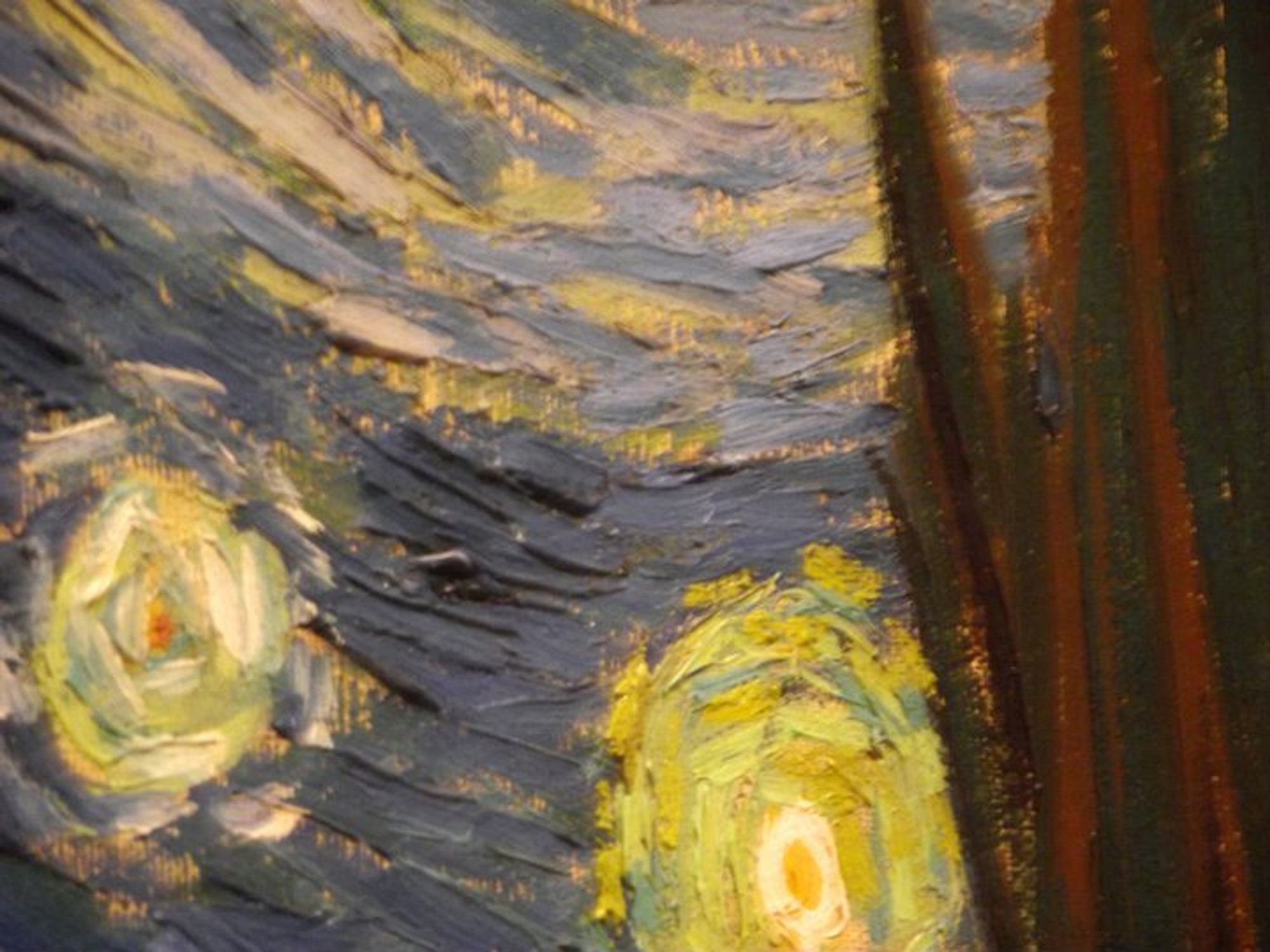
I’ll be honest, I often - carefully! respectfully! - try to view paintings sidewise so I can see the topography of the paint up off the canvas.

The thing I most enjoyed about seeing it in person was coming up alongside it to see the topography.