New hazard maps set to help safeguard UK offshore energy industry. Enhanced mapping of the UK’s Exclusive Economic Zone (EEZ) is being made available to the public for the first time, providing greater insight into the occurrence of earthquake hazard offshore. www.bgs.ac.uk/news/new-haz...

WTF are people doing on Anglesey (Ynys Môn)? Breeding sandworms? All jumping off chairs at the same time? (Or is the Menai Straits the next San Andreas Fault?)
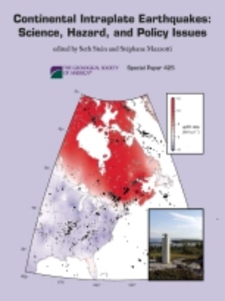
To the untrained (which I am) eye, 2475 years seems quite... precise (or is it accurate). *Kind of* makes sense, but it's easier for me to interpret (and presumably others) as 10%/2% in 50 years. It's the 475vs500/2475vs2500 that's tricky. But great work. pubs.geoscienceworld.org/gsa/books/ed...

The code provisions for earthquake-resistant design have been substantially revised in the development of the International Building Code (IBC) and other r
