BLUE
AF
Alerts from NWS Medford OR (UNOFFICIAL)
@mfr.nws-bot.us
Unofficial bot sharing alerts from NWS Medford OR. This account is not monitored. Contact @wandrme.paxex.aero if needed.
152 followers1 following32 posts
AFmfr.nws-bot.us

Red Flag Warning issued September 29 at 6:29PM PDT until October 1 at 11:00AM PDT by NWS Medford OR Additional Details Here.
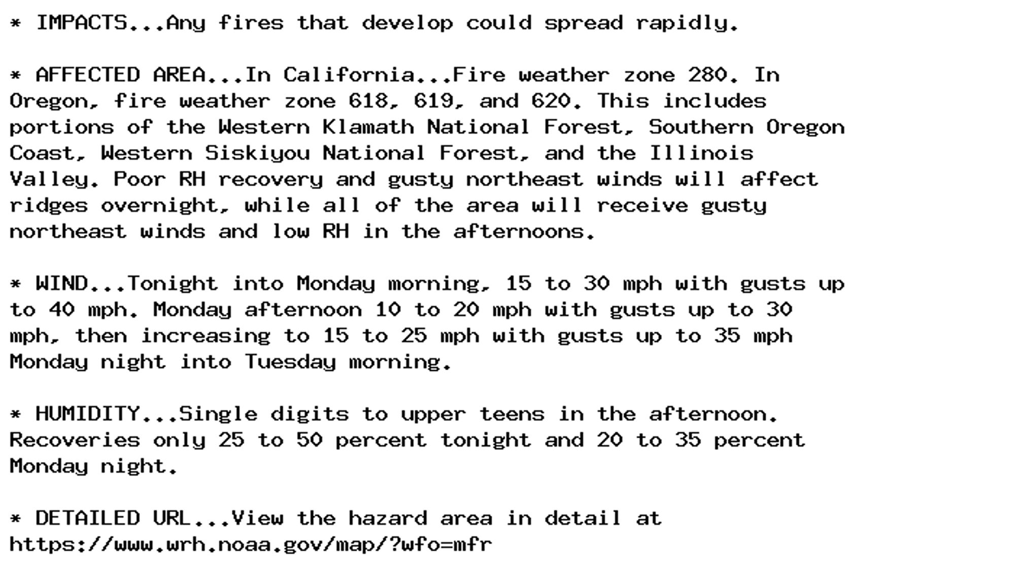
* IMPACTS...Any fires that develop could spread rapidly.

* AFFECTED AREA...In California...Fire weather zone 280. In
Oregon, fire weather zone 618, 619, and 620. This includes
portions of the Western Klamath National Forest, Southern Oregon
Coast, Western Siskiyou National Forest, and the Illinois
Valley. Poor RH recovery and gusty northeast winds will affect
ridges overnight, while all of the area will receive gusty
northeast winds and low RH in the afternoons.

* WIND...Tonight into Monday morning, 15 to 30 mph with gusts up
to 40 mph. Monday afternoon 10 to 20 mph with gusts up to 30
mph, then increasing to 15 to 25 mph with gusts up to 35 mph
Monday night into Tuesday morning.

* HUMIDITY...Single digits to upper teens in the afternoon.
Recoveries only 25 to 50 percent tonight and 20 to 35 percent
Monday night.

* DETAILED URL...View the hazard area in detail at
https://www.wrh.noaa.gov/map/?wfo=mfr
0

AF
Alerts from NWS Medford OR (UNOFFICIAL)
@mfr.nws-bot.us
Unofficial bot sharing alerts from NWS Medford OR. This account is not monitored. Contact @wandrme.paxex.aero if needed.
152 followers1 following32 posts