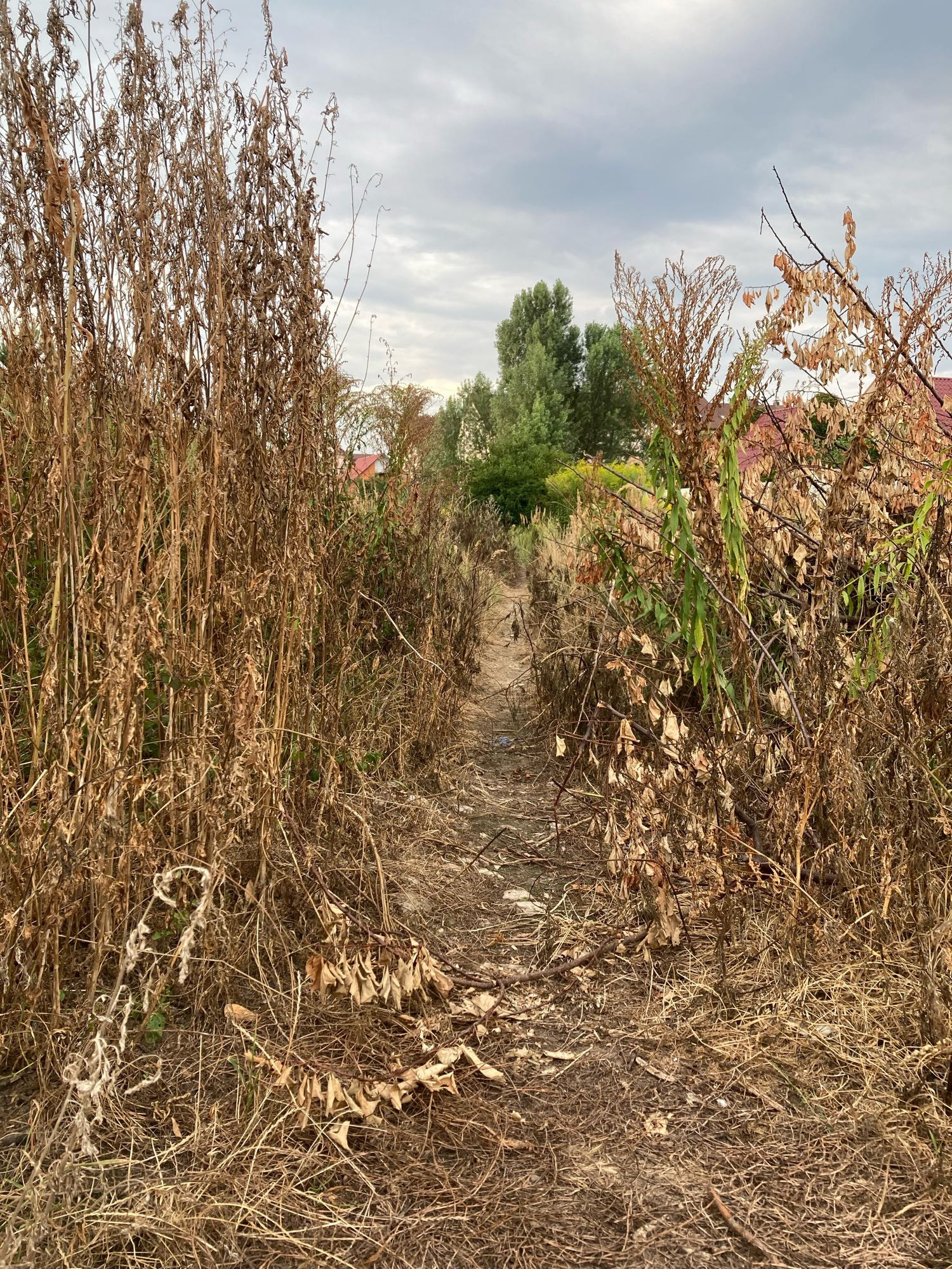
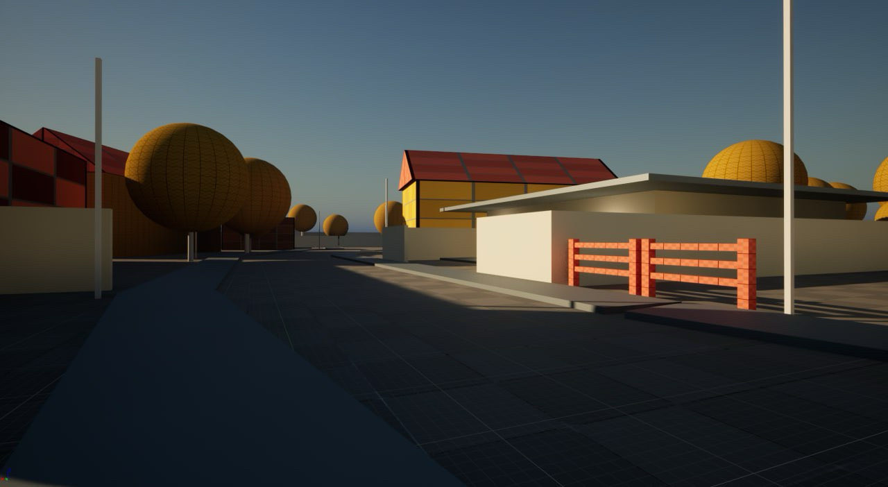
In terms of urban planning this is a nightmare to walk, drive or whatever. In a game, this makes the are look and feel way larger than it really is. You can’t see too far, so you have to actually walk to see what’s around that corner.
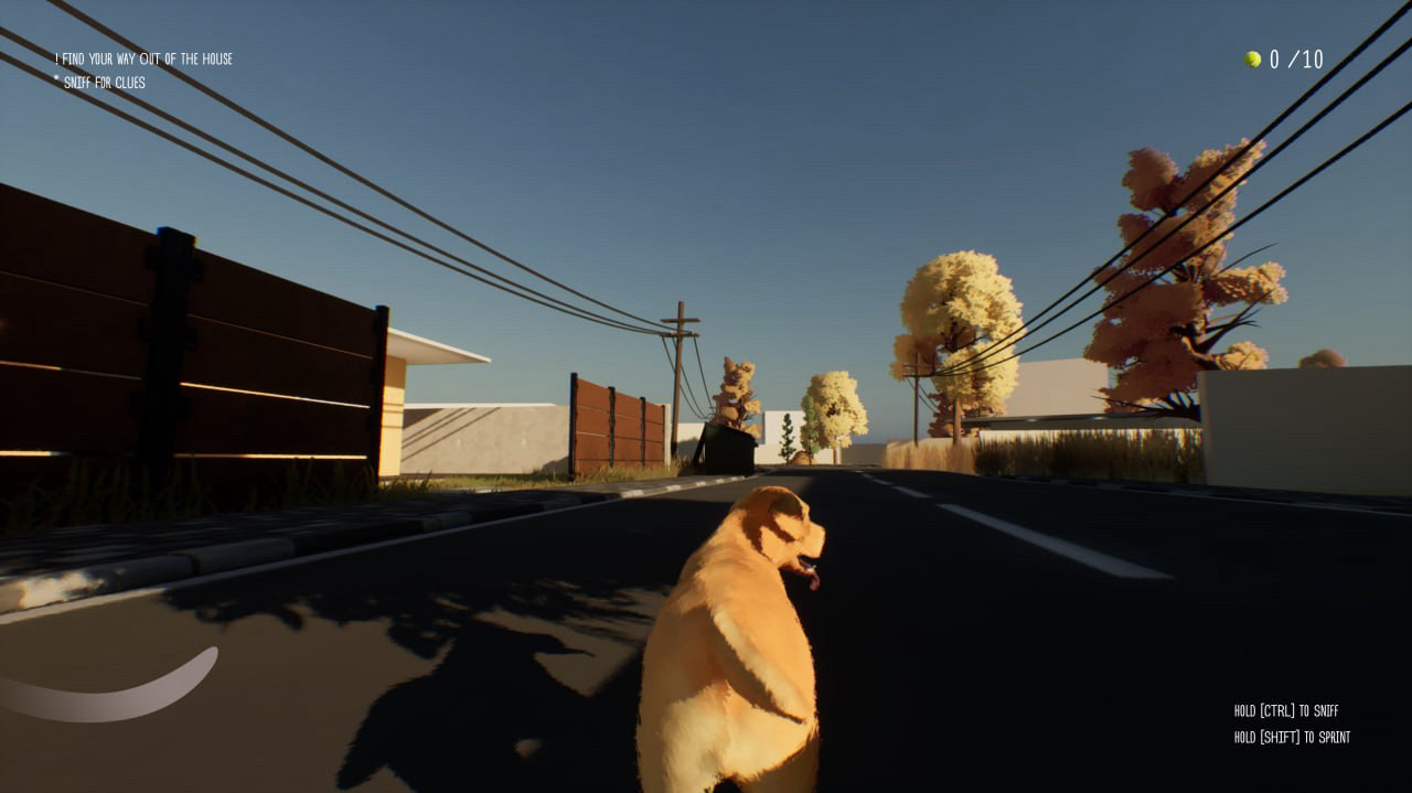
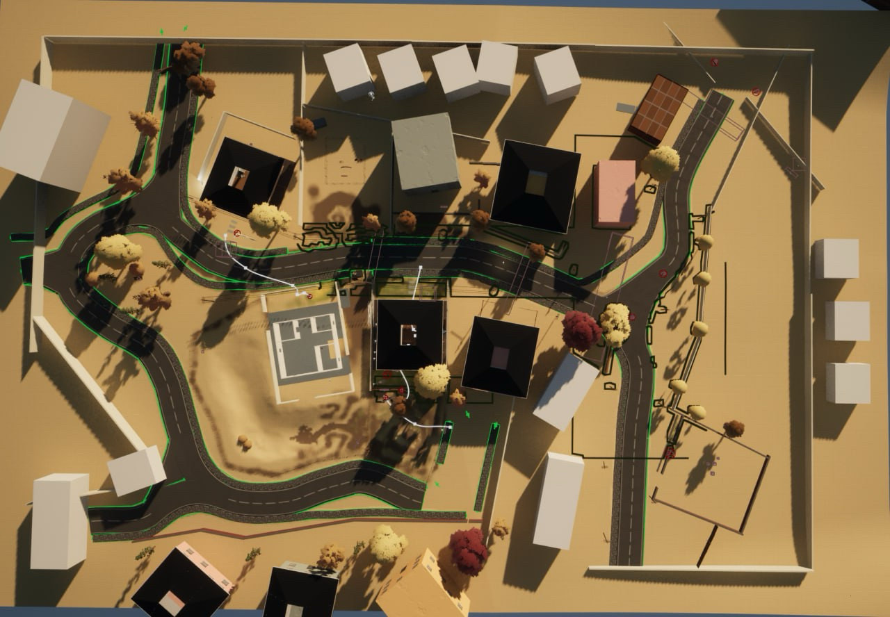
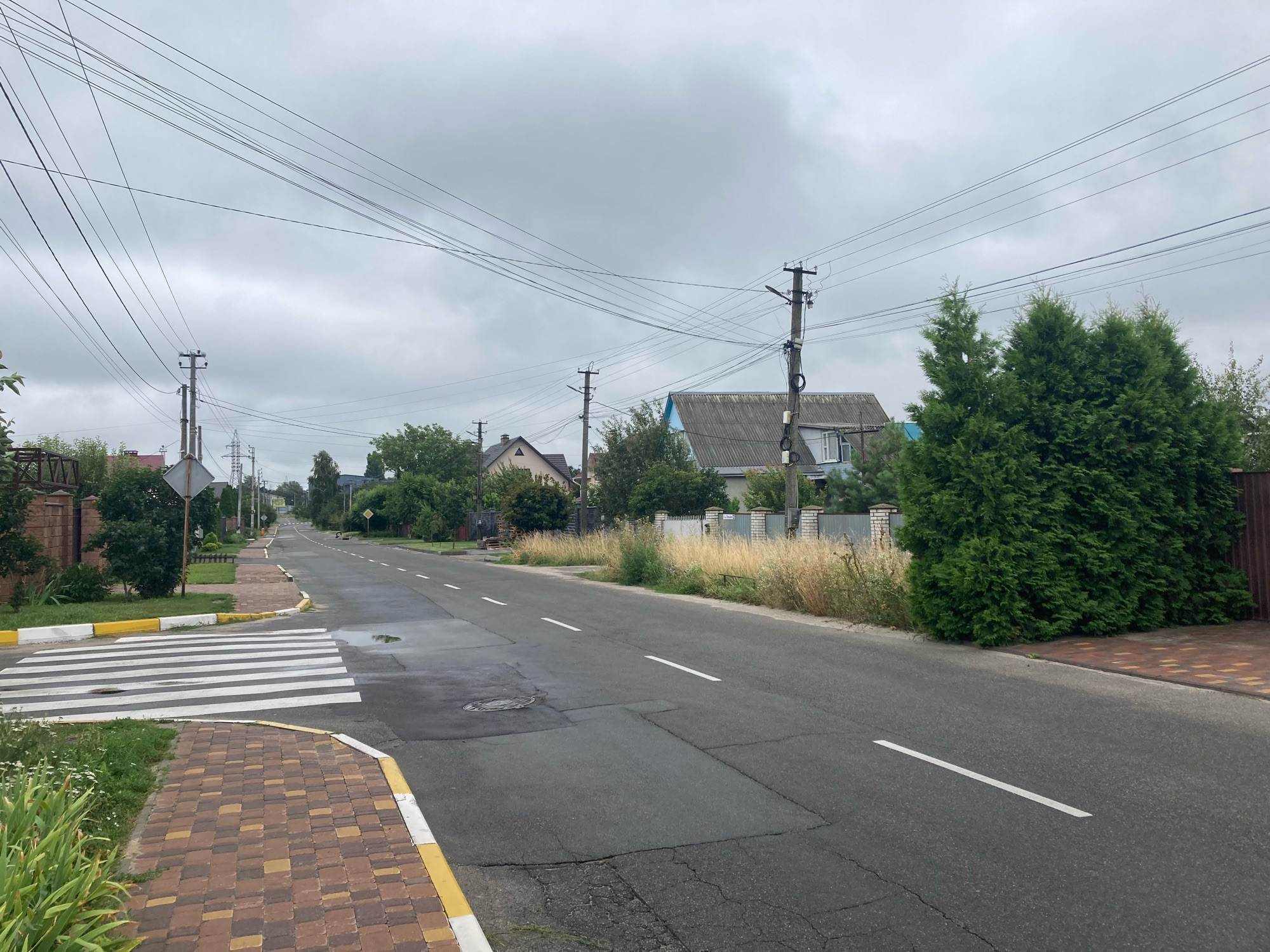
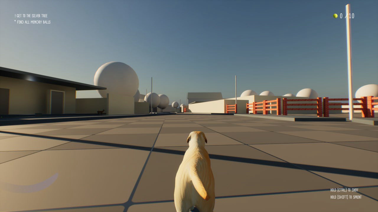
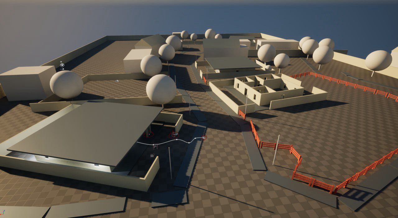
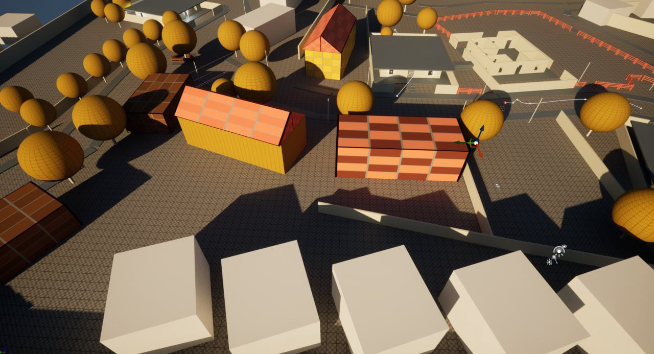
Most roads are connected at 90 deg angle, there’s no substantial altitude change, direct visibility is at least 500 meters. Won’t work in my game. So I had to add some curves in all axis. Here’s a WIP map of the location from the game.
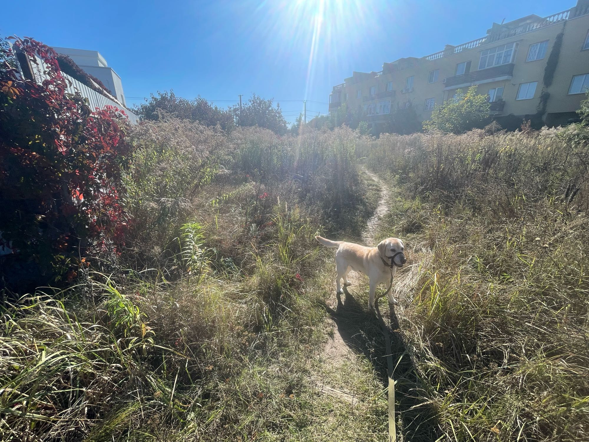
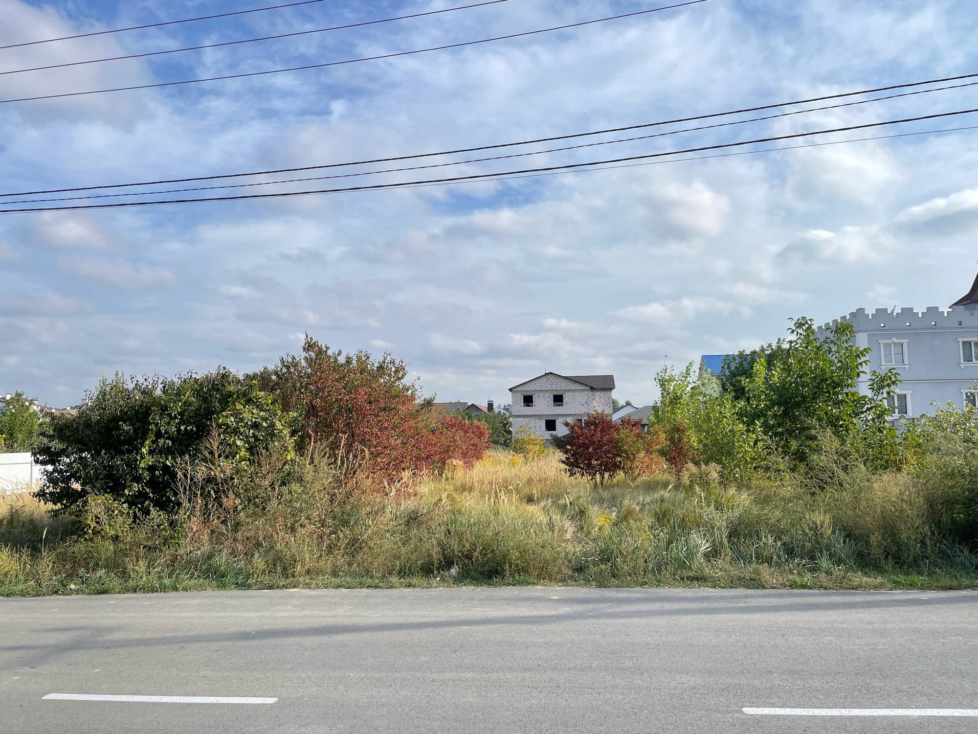
Let’s start with refs. Tailgate takes place in the village of San Pedro. This is a real village where I live. In Ukrainian it’s called Svyatopetrivs’ke. Villages are made for people, so in general they are very straightforward in navigation. So it’s not easy to make it interesting just by copying.
Hey folks, I’m Michael! Currently lead designer at Naughty Dog, Scottish, into baking bread. I also run the Twitter (@blocktoberld) and BlueSky Blocktober accounts. I’m very proud that people associate me with Blocktober and level design stuff, I just think game design is neat and want to share it.
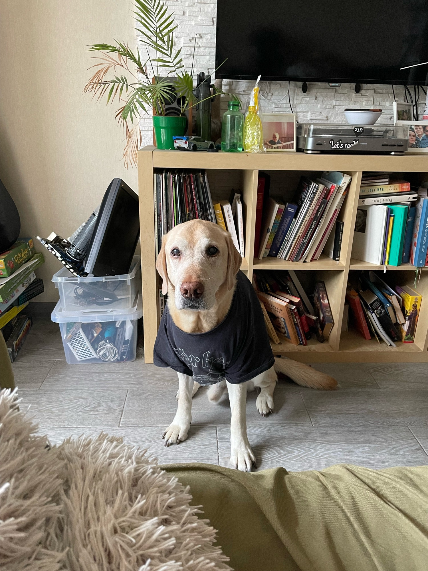
To wrap it up here’s my dog in a Motörhead t-shirt. He had a surgery on Thursday and now has to wear it for a week.
My first book, Gamer Girls: 25 Women Who Built the Video Game Industry, a YA nonfiction series of profiles set from the 1960s to early 2000s

Hey, Nicole! Nice to meet you!
hi! introducing myself as i start using this more: i'm nicole, a senior reporter at polygon covering the business and culture of the video game industry. always want to chat! i'm on signal/whatsapp at 1-917-426-4372 — reach out with tips, secrets, your cool game, or to talk about hockey ✨