BLUE
AF
Alerts from NWS Baltimore MD/Washington DC (UNOFFICIAL)
@was.nws-bot.us
Unofficial bot sharing NWS alerts for the Baltimore MD/Washington DC area. This account is not monitored. Contact @wandrme.paxex.aero if needed.
922 followers1 following177 posts
AFwas.nws-bot.us

🚨 Flood Warning issued September 27 at 10:29PM EDT until September 28 at 4:15AM EDT by NWS Baltimore MD/Washington DC 🚨 Additional Details Here.
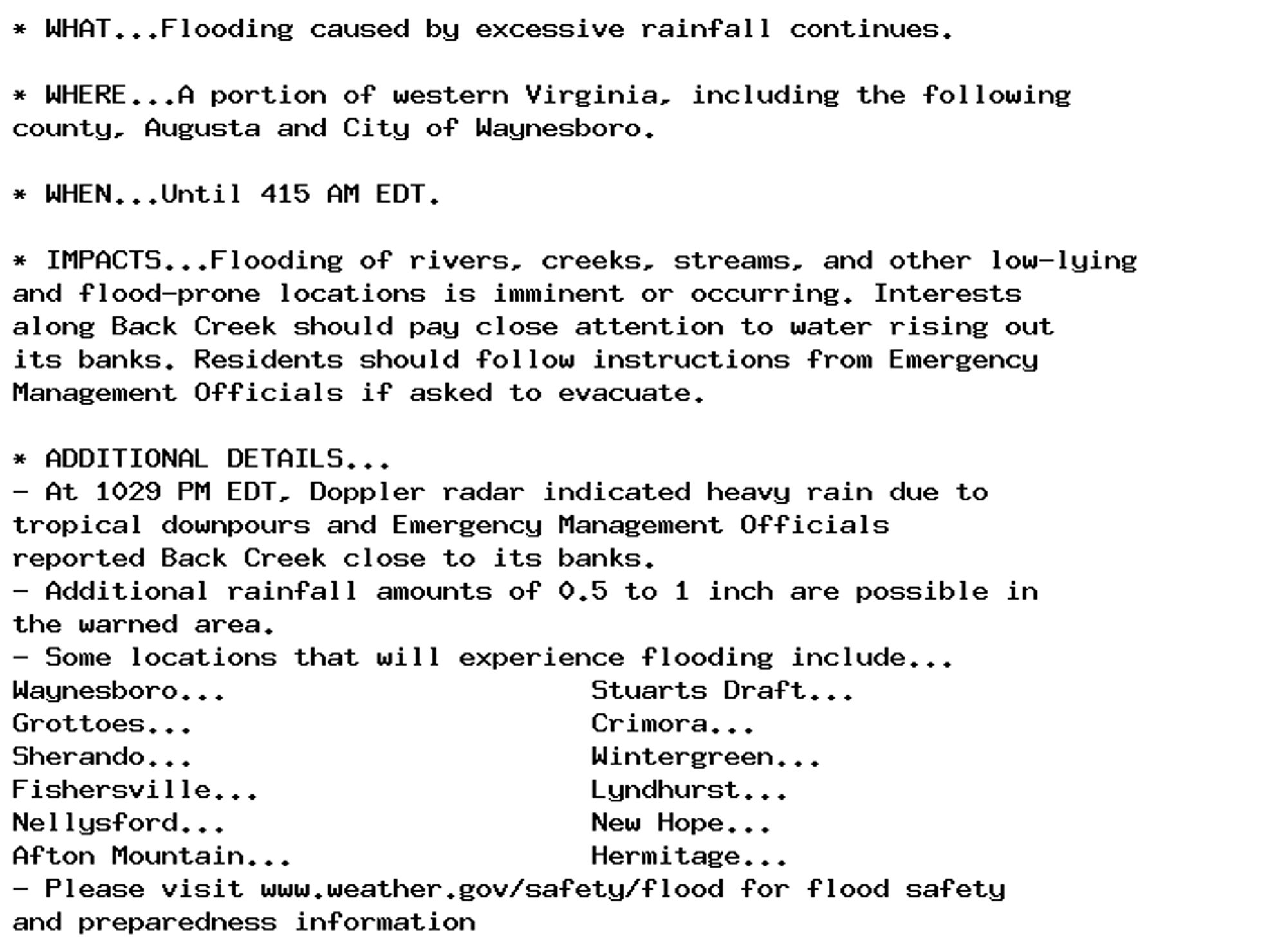
* WHAT...Flooding caused by excessive rainfall continues.

* WHERE...A portion of western Virginia, including the following
county, Augusta and City of Waynesboro.

* WHEN...Until 415 AM EDT.

* IMPACTS...Flooding of rivers, creeks, streams, and other low-lying
and flood-prone locations is imminent or occurring. Interests
along Back Creek should pay close attention to water rising out
its banks. Residents should follow instructions from Emergency
Management Officials if asked to evacuate.

* ADDITIONAL DETAILS...
- At 1029 PM EDT, Doppler radar indicated heavy rain due to
tropical downpours and Emergency Management Officials
reported Back Creek close to its banks.
- Additional rainfall amounts of 0.5 to 1 inch are possible in
the warned area.
- Some locations that will experience flooding include...
Waynesboro...                      Stuarts Draft...
Grottoes...                        Crimora...
Sherando...                        Wintergreen...
Fishersville...                    Lyndhurst...
Nellysford...                      New Hope...
Afton Mountain...                  Hermitage...
- Please visit www.weather.gov/safety/flood for flood safety
and preparedness information
0

AF
Alerts from NWS Baltimore MD/Washington DC (UNOFFICIAL)
@was.nws-bot.us
Unofficial bot sharing NWS alerts for the Baltimore MD/Washington DC area. This account is not monitored. Contact @wandrme.paxex.aero if needed.
922 followers1 following177 posts