Global natural lands map produced by Land and Carbon Lab. Sadly some countries have very little natural land left. These are the countries where large densities of humans have been for a very long time. #landcover […]
The @USGS Announces Next Generation Of #LandCover#Change#DataProductswww.usgs.gov/special-topi...#GIS#spatial#mapping#opendata#remotesensing#annual#NationalLandCoverDataset#CONUS#USA#resourcemanagement#urbanplanning#farming#agriculture#environment @USGS_EROS

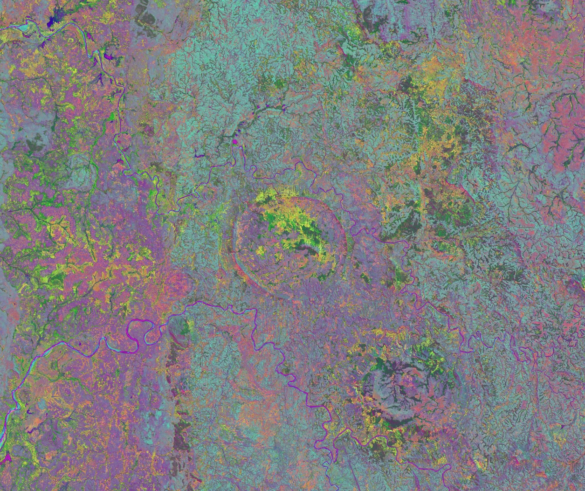
Hydrology Paper of the Day @AndradeJmn on utilizing machine learning to classify forest landcover in the Caatinga region of Brazil: NDVI images from single and multiple times of collection; application of ML Random Forests; and spectral and temporal classification accuracies.
Accurate information on the land cover is crucial for efficient monitoring and development of environmental studies in the Brazilian Caatinga forest. …


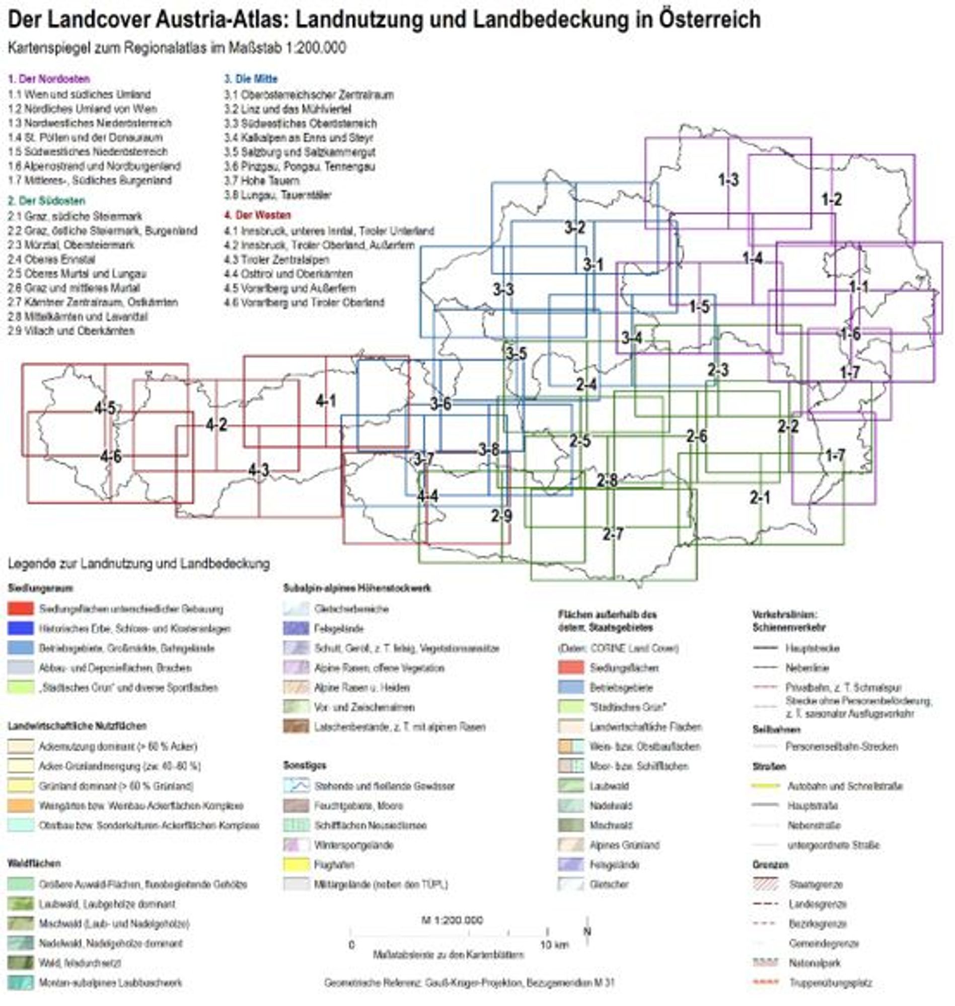
"Queensland government released its Statewide Landcover and Trees Study for the 2021-22 year. The report shows 323,676 hectares of land was impacted by land clearing during the 2021-2022 reporting period, cementing Australia’s unenviable international status as a global hotspot for deforestation""Queensland government released its Statewide Landcover and Trees Study for the 2021-22 year. The report shows 323,676 hectares of land was impacted by land clearing during the 2021-2022 reporting period, cementing Australia’s unenviable international status as a global hotspot for deforestation"
Yesterday the Queensland government released its Statewide Landcover and Trees Study for the 2021-22 year .
Instantly compare landcover anywhere in the world between 1985 and 2022 https://spatialthoughts.projects.earthengine.app/view/global-landcover-change-explorer#EarthEngine#landcoverhttps://spatialthoughts.com/2024/06/29/global-landcover-glcfcs30d Thank you Ujaval Gandi!